Colorado Weather: Snow And High Wind Will Make Mountain Travel Difficult On Tuesday
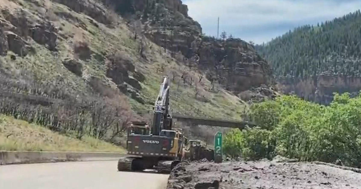
DENVER (CBS4) - Tuesday will be a First Alert Weather Day for the northern and central mountains of Colorado as a new storm moves in from the northwest. It will bring widespread snow to mountains north of Highway 50 along with high wind. Travel is expected to be very difficult at times during the day on Tuesday for several heavily traveled mountain roadways, including Interstate 70 and U.S. Highway 40.
The same storm will bring high wind and rain showers to Denver, the Front Range and the eastern plains during the day on Tuesday. Fire danger will also be elevated from the foothills west of Denver to the Kansas state line.
RELATED: Denver Weather: Very Strong Wind And Elevated Fire Danger Expected Tuesday
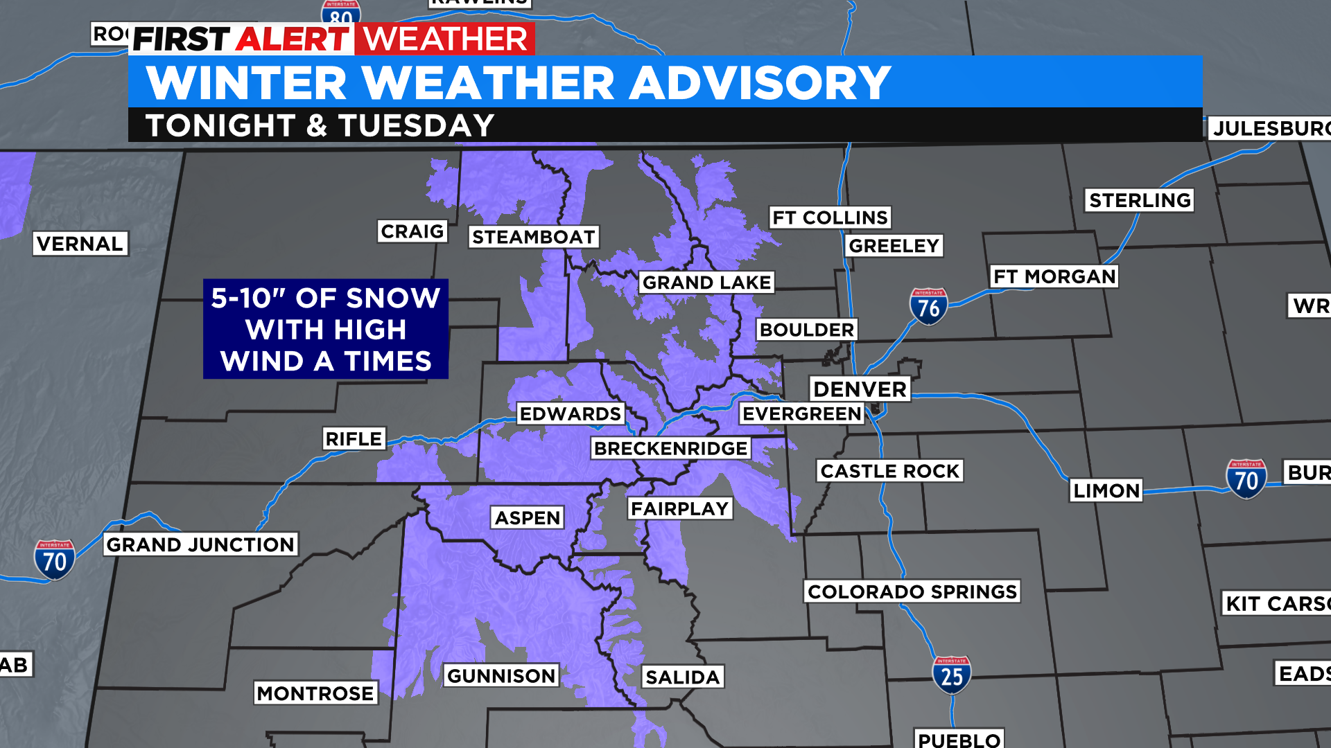
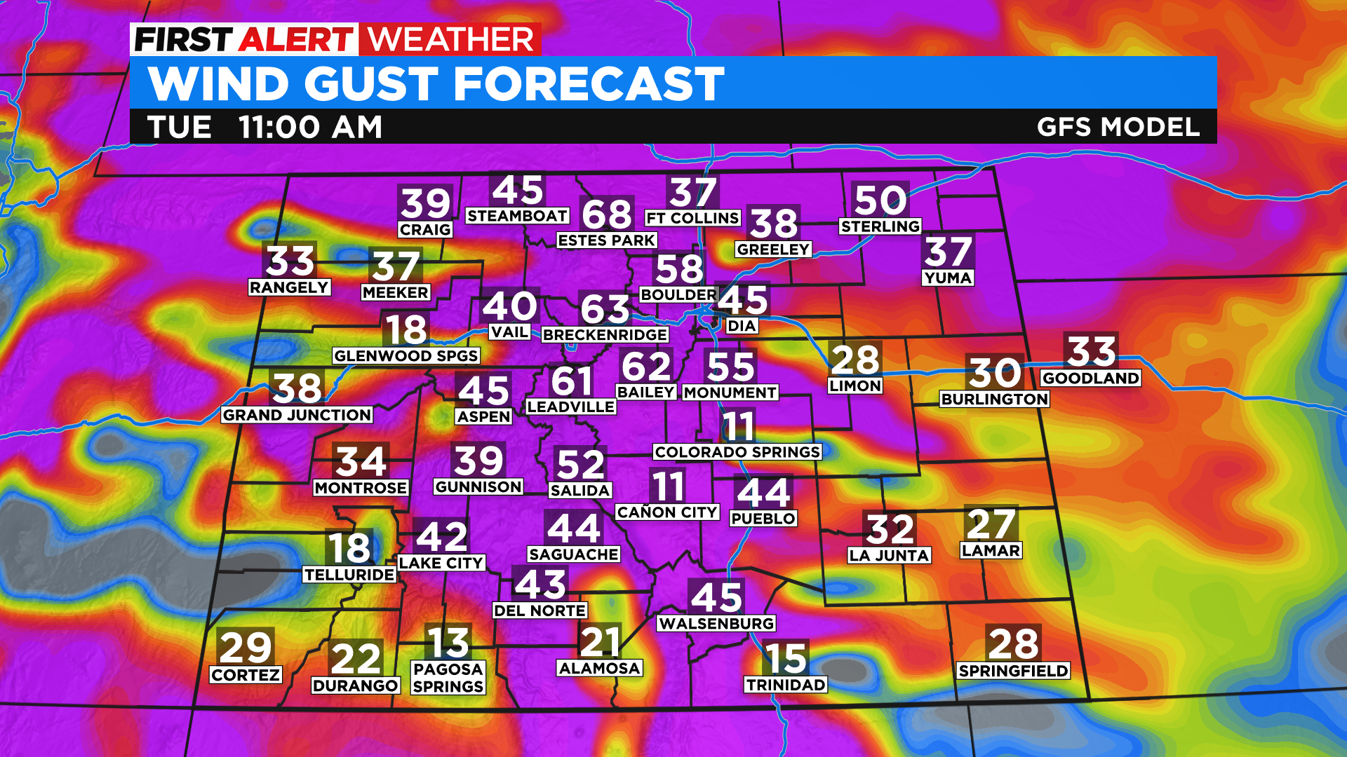
The National Weather Service has issued a Winter Weather Advisory for most of the northern and central mountains of Colorado starting Monday night and lasting through the day on Tuesday. Locations above 9,000 feet could see anywhere from 5 to 10 inches of snow from this storm.
In addition to the snow we expect several hours of strong and potentially damaging winds. Gusts could be as high as 50 and 75 mph in the mountains along with the snow during the day on Tuesday. It will be possible to see white-out conditions at times, especially on the higher and exposed mountain passes. The map below shows potential wind gusts by late Tuesday morning.