Two All-Time Weather Records Could Fall In Denver With Stormy Week Ahead
DENVER (CBS4) - It's been a wet and snowy March in Denver and we have more stormy weather on the way starting Sunday. In fact, NOAA's 6-10 day outlook issued late last week calls for the potential to see above normal precipitation next week along with below normal temperatures.

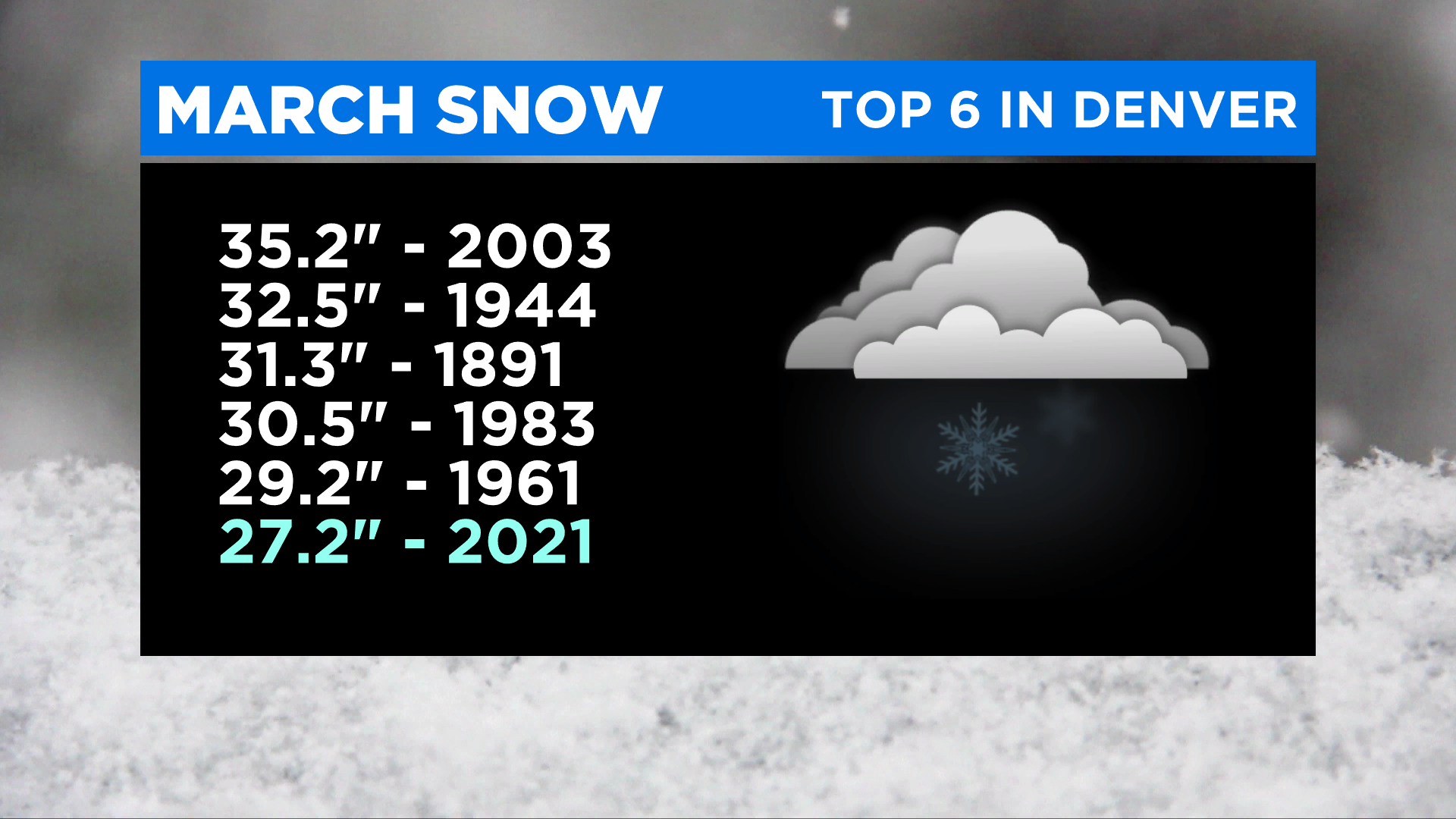
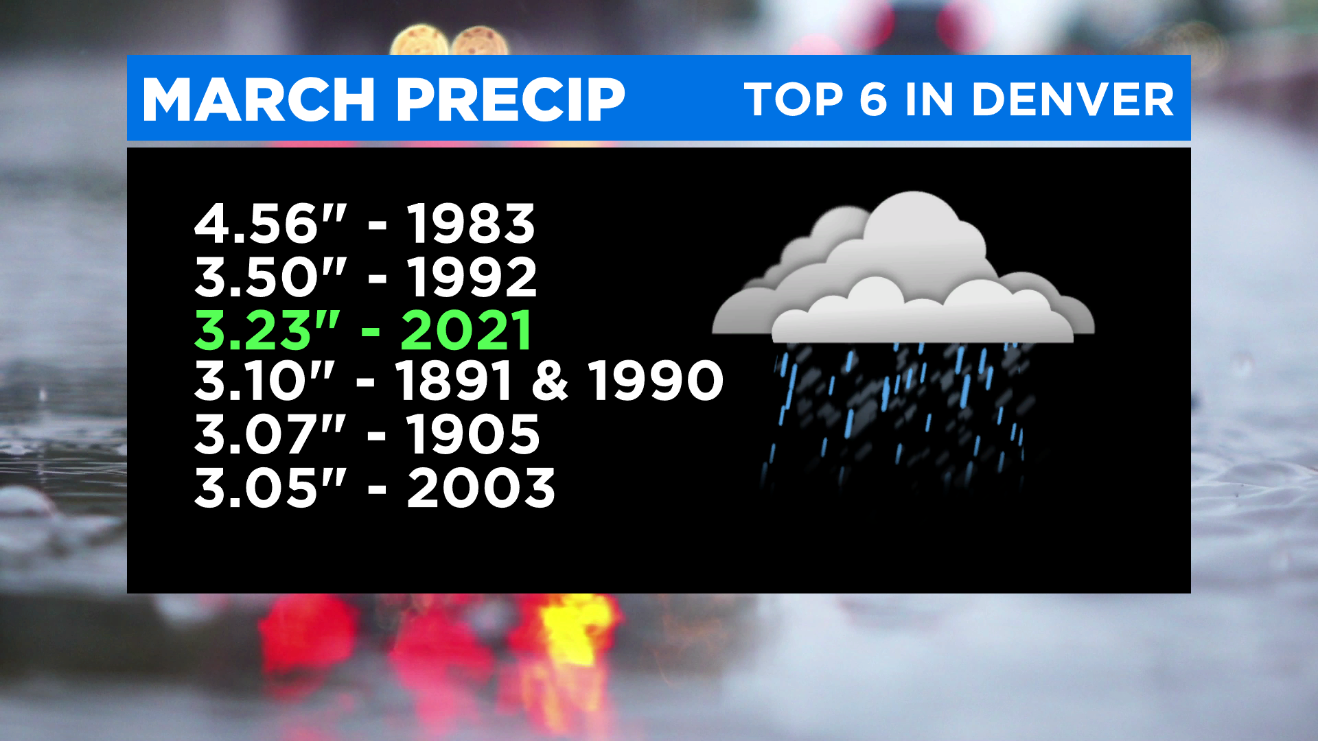
So far this month Denver's official weather station (located at Denver International Airport) has measured 27.2 inches of snow and 3.23 inches of liquid, which is a combination of rain and melted snow.
RELATED: Historic Repeat: Like 2003, March Blizzard Of 2021 Helps Ease Drought On Colorado's Front Range
In terms of snowfall we are currently in 6th place on the list of highest March snow totals since 1882.

In terms of liquid precipitation we're already in 3rd place and those records date back to 1872.
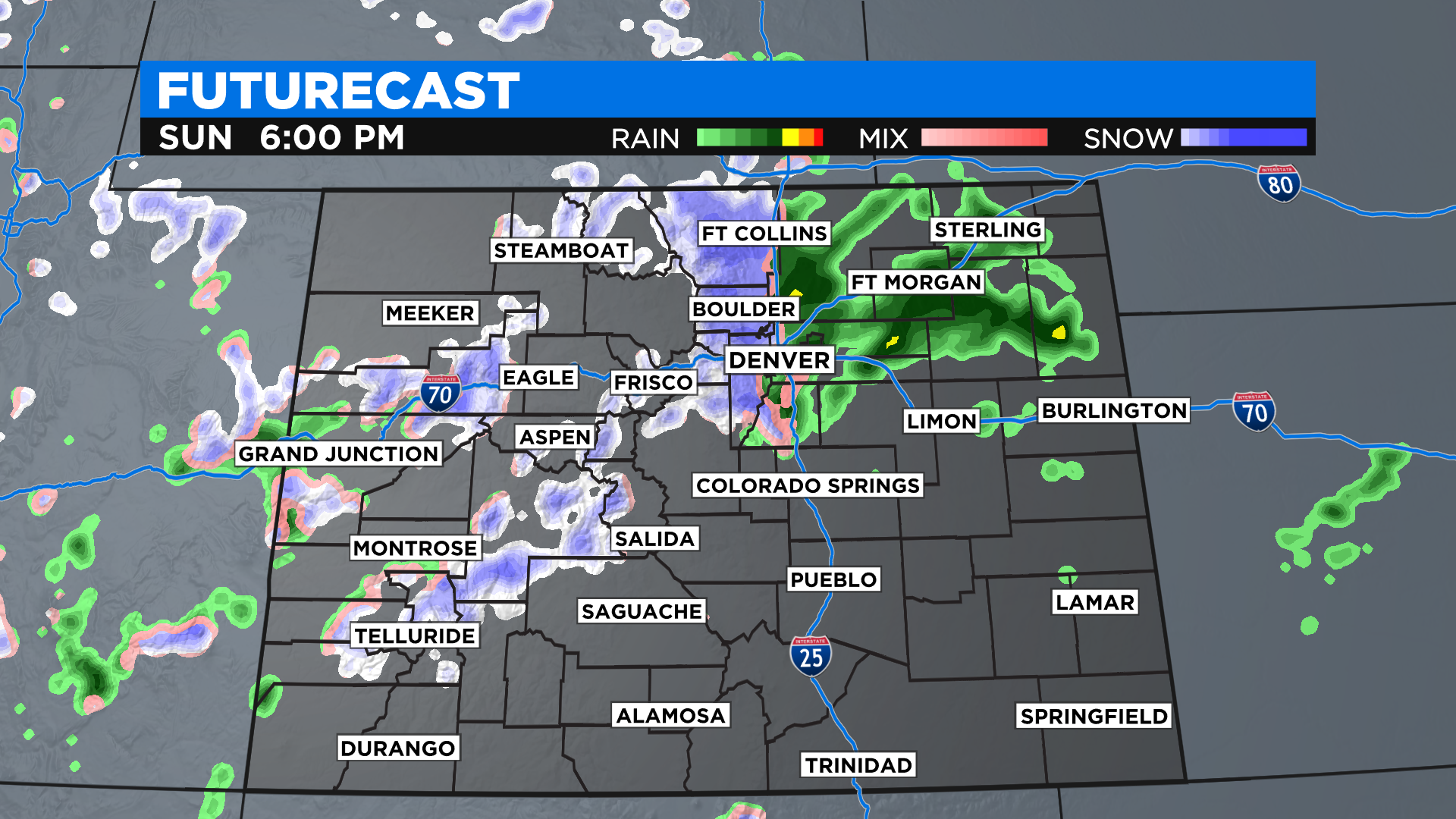
A new storm will move into Colorado late Saturday. It will bring much colder air along with a chance for rain and snow. Right now it looks like Denver could get anywhere from a half inch to a full inch of water.
It should start off as rain sometime Sunday afternoon but it could end with at least a few inches of heavy, wet snow by Monday morning.
RELATED: Colorado Weather: Weekend Will Start Warm But End With Spring Snow
It'll be the start of what's shaping up to be a very cool and unsettled first full week of spring. The new season arrives into the Mountain Time Zone at 3:37 a.m. Saturday.