Denver Weather: Blast Of Snow And Cold Set To Arrive Wednesday
DENVER (CBS4) - Other than gusty winds, most of the Front Range experienced a gorgeous February weekend. The official high temperature on Sunday was 65° making the day one of the warmest Super Bowl Sundays on record in Denver.
Subtle changes start Monday with high temperatures in the 50s along the Front Range. Light snow will continue at times in the mountains but any accumulation will be very minor. The cooling trend will also continue into Tuesday with highs struggling to reach near 50° in the Denver, Boulder, and Fort Collins areas.
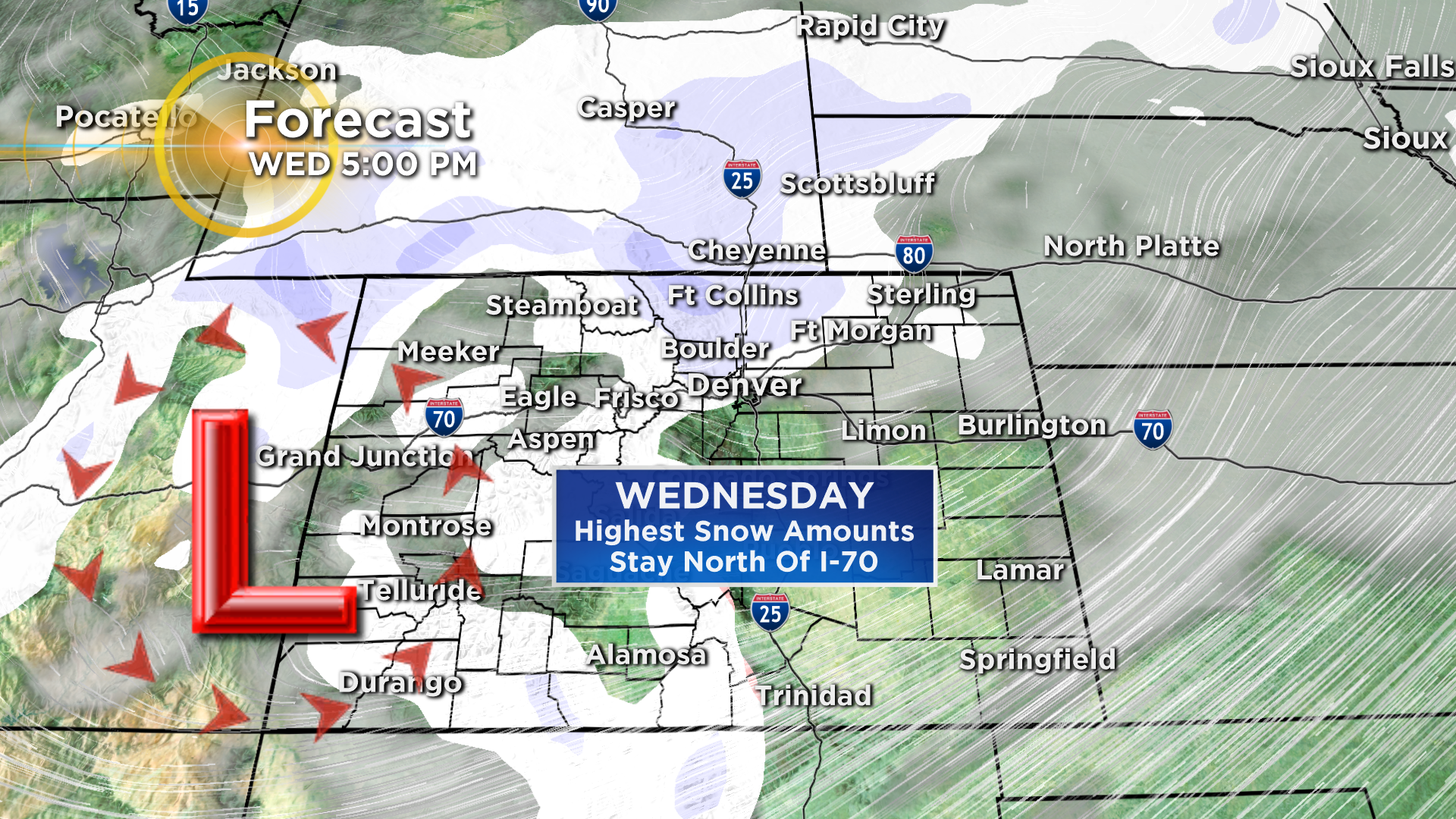
Then a much bigger change arrives on Wednesday as a strong arctic cold front drops into Colorado from the north together with a strong storm system from the northwest.
The result will be temperatures struggling to reach freezing in the Denver metro area on Wednesday followed by lows in the lower single digits Wednesday night. Thursday will stay very cold with highs in the 20s and lows near 10° Friday morning.
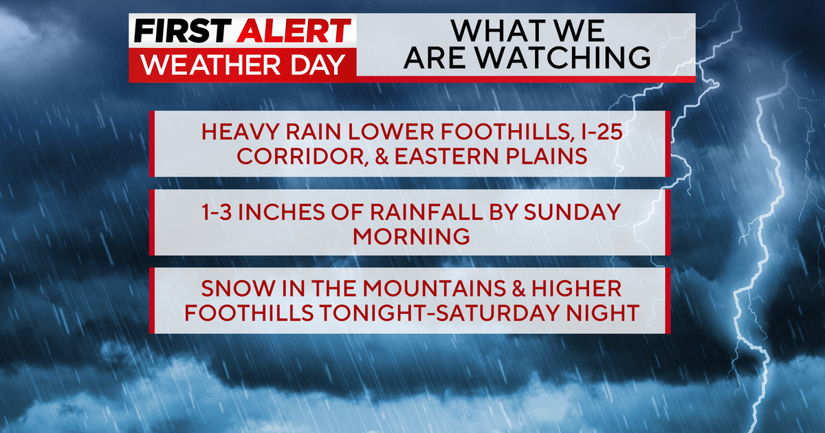
In terms of snow, this will be not be a huge storm, but as of Monday morning we're expecting 1-4 inches along the Front Range urban corridor with the highest amounts north of I-70. Locations such as Boulder and Fort Collins will probably be closer to the 4 inch total while Arapahoe and Douglas Counties will likely be closer to 1 inch.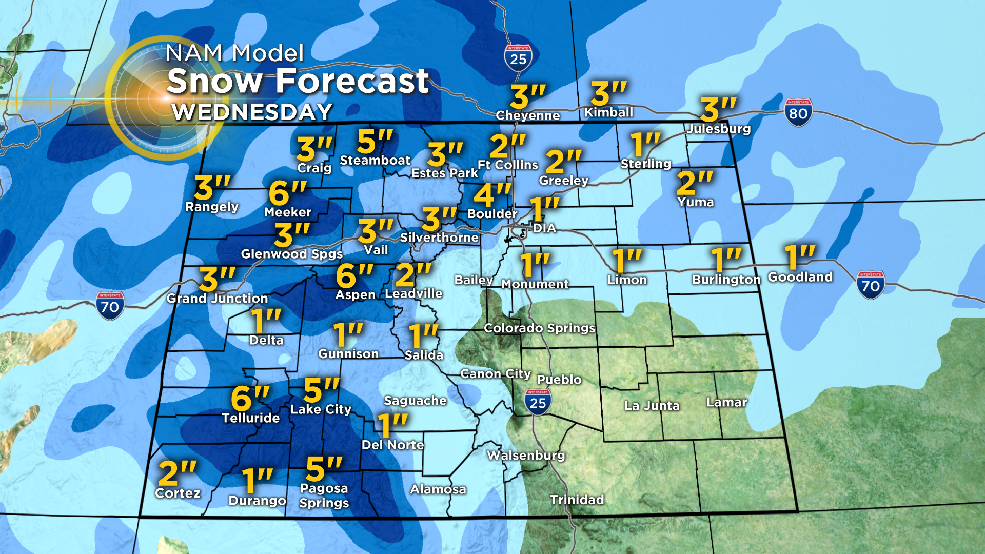
Regardless of how much snow you get in your neighborhood, plan on MUCH colder weather for the middle and end of this week.
CBS4 has partnered with the Denver Rescue Mission to Spread the Warmth this winter. We're bringing the community together for Coloradans experiencing homelessness. Find out how to help at CBSDenver.com/SpreadtheWarmth/.