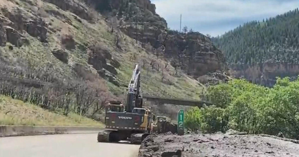
Difficult Mountain Driving Expected Monday For Holiday Travelers
By Chris Spears
DENVER (CBS4) - A potent winter storm will move into Colorado tonight and it will likely create very tough driving conditions in the mountains on Monday.
Moderate to heavy snow will be accompanied by winds gusting at times between 30-50 mph starting late Sunday and lasting into early Tuesday.
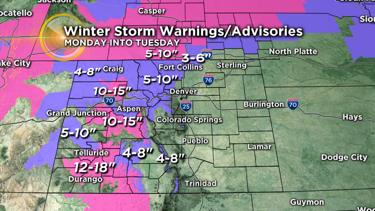
The map below shows watches, warnings and advisories as of 7 a.m. Sunday. More could be issued along the Interstate 70 corridor between Summit County and Denver as the storm moves in later tonight.
Denver and the eastern plains will also get in on the action with fog, drizzle and flurries possible by sunrise on Monday as the cold front moves into the region.
More widespread snow is expected to develop in Denver by late Monday afternoon with a few inches of accumulation possible.
Bitterly cold air will filter in by Monday night with highs on Tuesday in the single digits and teens statewide.
Meteorologist Chris Spears travels weekly in the CBS4 Mobile Weather Lab reporting about Colorado's weather and climate. Check out his bio, connect with him on Facebook or follow him on Twitter @ChrisCBS4.