Blizzard Slams Denver & Eastern Colorado Yet Leaves Millions Holding Empty Shovels Out In The Cold
By Chris Spears
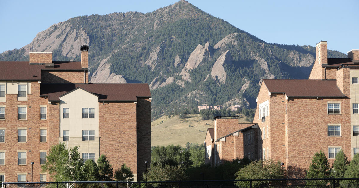
DENVER (CBS4) - Hopes were high along Colorado's Front Range on Tuesday for the first snow day of the season but millions were left with a lot of disappointment.
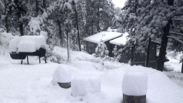
That's because as they went to bed Monday night under a blizzard warning they expected to wake up Tuesday with their cars, roads and driveways buried in snow.
While that happened in places less than 20 miles from downtown Denver the majority of the Front Range population saw just a few inches or less.
Perhaps some of the disappointment was because there's a common misconception with the word blizzard. Most will say it means heavy snow but it actually has more to do with the wind.
A blizzard is a strong winter storm that creates wind speeds of 35 mph or greater. If combined with falling or blowing snow it can reduce the visibility to under a quarter mile for an extended period of time and that's the definition of a blizzard.
It has nothing to do with snow accumulation. Blizzard conditions can be experienced even if there is little to no accumulation.
Because of the potential for blizzard conditions to develop the National Weather Service placed a large part of the region under a warning.
The rest of the disappointment can be blamed on the storm itself.
In the northern hemisphere areas of low pressure spin counter-clockwise drawing warm humid air up from the south on their right side, and dry, colder air down from the north on their left side.
Those two air masses typically collide somewhere on the northwest side of the low creating a band of heavy precipitation.
But there's more to it than just that.
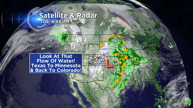
In the case of this storm the circulation around the low pressure was unusually intense.
It was so strong that it pulled moisture from the subtropics of Mexico all the way to the Canadian border of North Dakota and Minnesota before traveling in a narrow band back down into eastern Colorado.
Because of that flow of wind, places like Fort Collins, Loveland, Longmont, Greeley and Boulder ended up with a wind blowing down the slopes of higher terrain to their north or northwest. That's not a good direction for one hoping to get a lot of rain or snow.
South of Denver along the Palmer Divide it was the exact opposite. The flow of wind traveled up the slopes of higher terrain of the Palmer Divide and helped enhance the chances for snow.
For cities like Castle Rock, Lone Tree, Southeast Aurora and Parker it was the perfect scenario.
In between across the heart of Denver it was windy and it did snow but it never really materialized into a situation that disrupted travel.
If you missed out on the big snowfall this time don't worry, eventually a storm will come through the Central Rockies with the right "ingredients" to bring you a snow day.
It's all about location, location, location in a place like Colorado.
Meteorologist Chris Spears writes about stories related to weather and climate in Colorado. Check out his bio, connect with him on Facebook or follow him on Twitter @ChrisCBS4.