Another Winter Storm Is Already Heading For Colorado With More Snow For Denver
DENVER (CBS4) - For the second day in a row, Colorado will be completely dry on Monday from the Western Slope to the Eastern Plains. Then another winter storm will restore snow in the mountains on Tuesday before the snow eventually reaches Denver and the Front Range on Wednesday.
Before the storm arrives, temperatures will warm another 5 to 10 degrees on Monday compared to Sunday which was already significantly warmer compared to New Year's Day. Denver and most of the Front Range will reach at least 40 degrees and many areas in the immediate metro area will climb closer to 50 degrees. A large mountain wave cloud and variable amounts of snow on the ground will create a large range of afternoon temperatures. That said, it will certainly be much warmer along the urban corridor compared to the mountains and Western Slope where high temperatures will be in mostly stuck in the 20s and 30s.
The first flakes with the next storm will arrive in the mountains Tuesday afternoon with mostly minor snow accumulation possible in the high country by Tuesday evening. It will also become very windy in the mountains on Tuesday with gusts exceeding 50 mph at times. The wind will cause a lot of blowing snow and therefore limited visibility especially Tuesday night into Wednesday when travel could become very difficult along many mountain roads including I-70 between Georgetown and Avon.
At this time, only the Steamboat Springs and Rabbit Ears Pass area is under a Winter Storm Watch. That area should get 1-2 feet of snow from Tuesday through Thursday. Additional alerts for snow and wind are expected to be issued for mountains as the storm gets closer.
Snowfall for the mountains south of Steamboat Springs will be less but still significant down to about Highway 50. Then amounts will really drop off for the ski areas in the San Juan Mountains. This is because the storm will be moving north of Colorado instead of south of Colorado like recent storms.
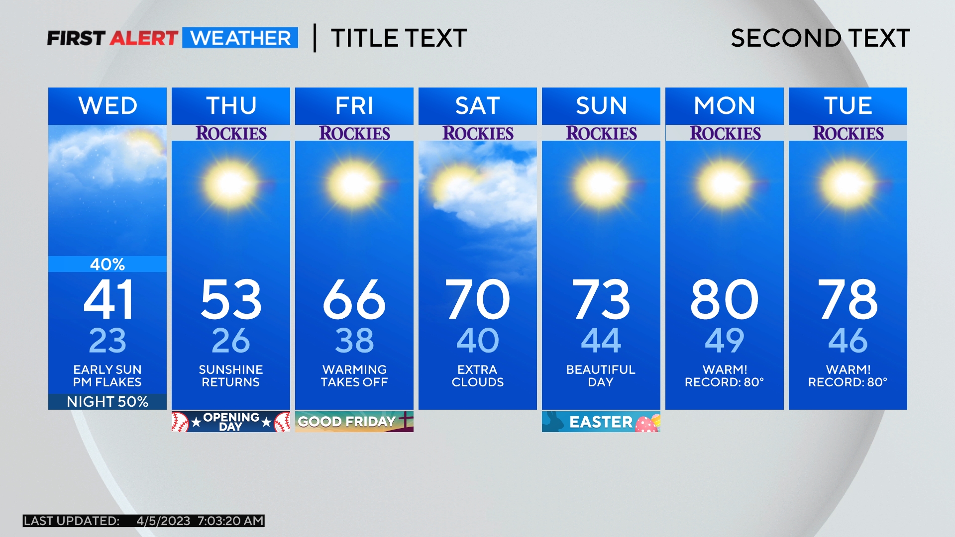
For Denver and the Front Range, the chance for snow should start late Wednesday afternoon with 1-3 inches of accumulation expected in most areas Wednesday night. Falling snow should end before the Thursday morning commute.
Temperatures will also turn much colder on Thursday behind this storm but it will not be as cold as it was back on Saturday. Denver's official high temperature on New Year's Day was only 8 degrees after officially receiving 5 inches of snow.
So needless to say, this storm this week won't bring as much and won't be as cold. But it will still create travel issues and the wind will be fierce at times including in the metro area. Gusts on Tuesday could reach 45 mph while on Wednesday gusts should reach at least 30 mph.
