Denver Weather: Warmer Today With Few Gusty Storms Possible This Afternoon
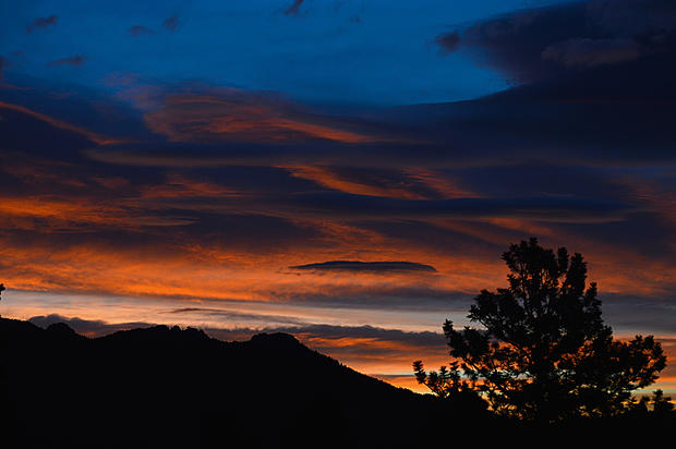
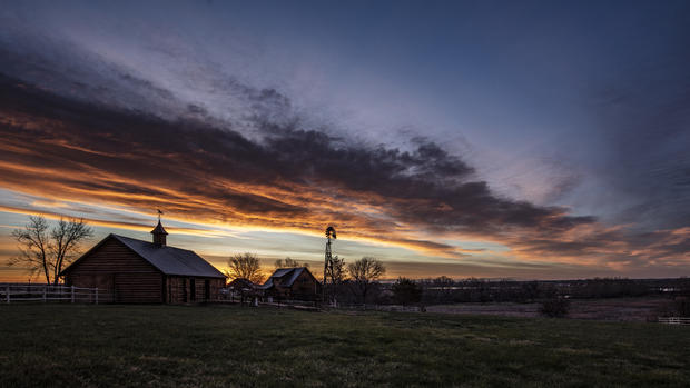
DENVER (CBS4) - We had a fantastic sunrise along the Front Range this morning thanks to some mid and high-level cloud cover moving in from the west. Two of our faithful Sunday morning viewers captured it in case you missed out.
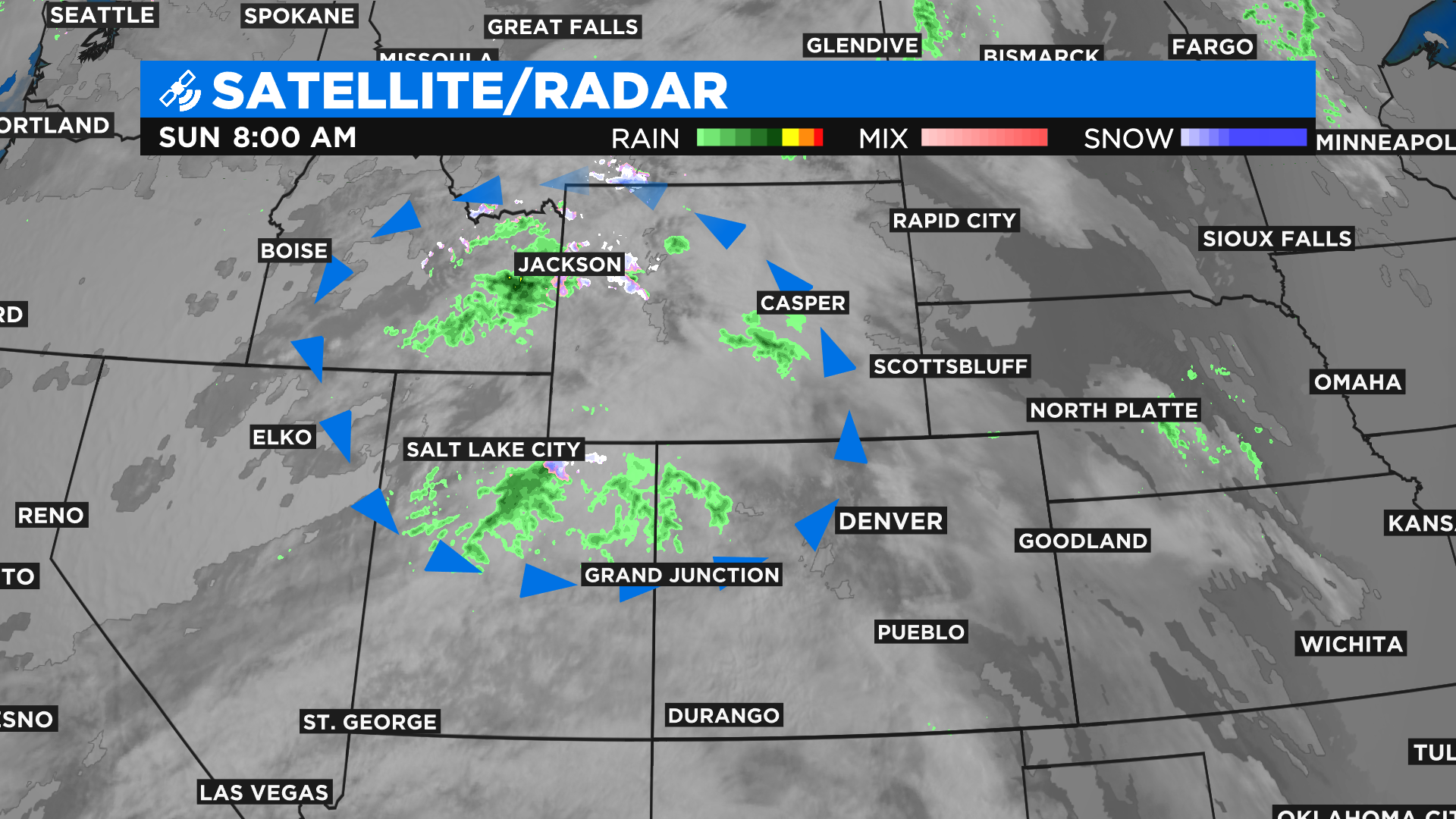
The cloud cover is associated with a weather disturbance (circled in blue arrows on the radar image below) that was sitting over northern Utah and southern Idaho early Sunday morning. It will move to the east through the day and bring a chance for scattered showers to areas along and north of Interstate 70. There could even be a few gusty thunderstorms this afternoon in the foothills, Denver and on the eastern plains.
Because it is so warm the snow levels are very high today. A few places above 11,000 feet could pick up a quick inch or two of snow with the passing showers.
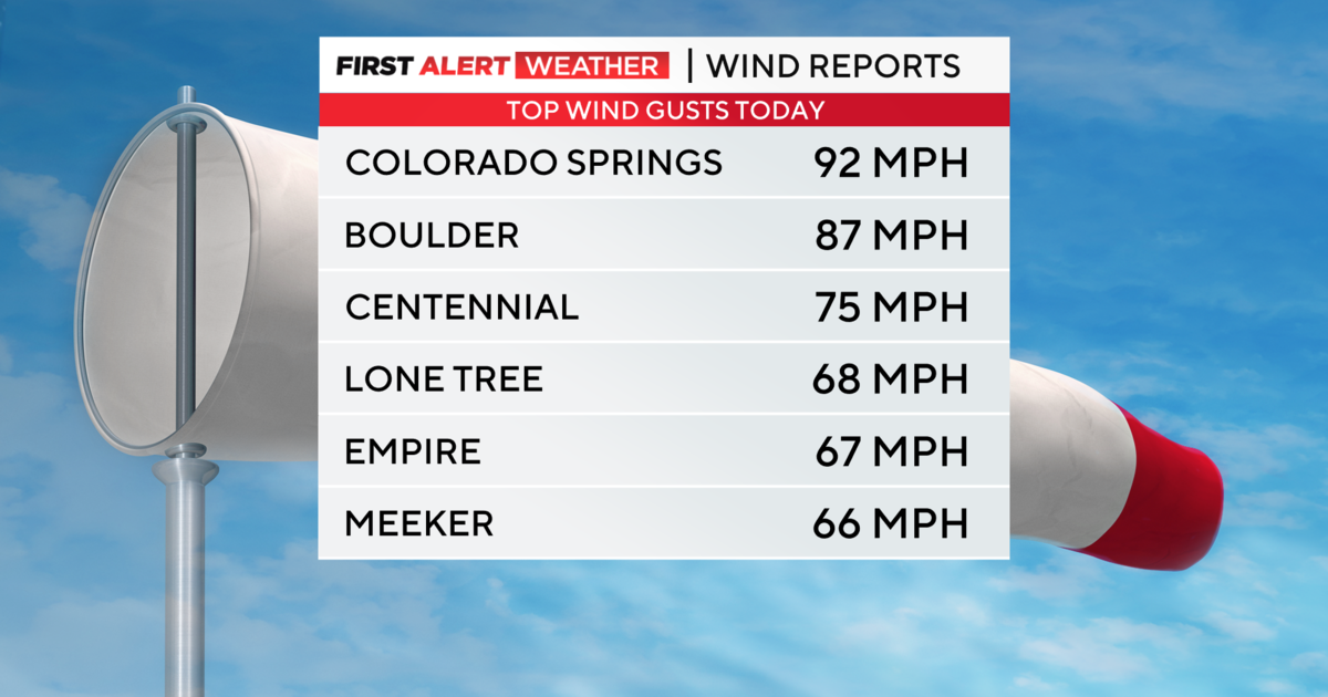
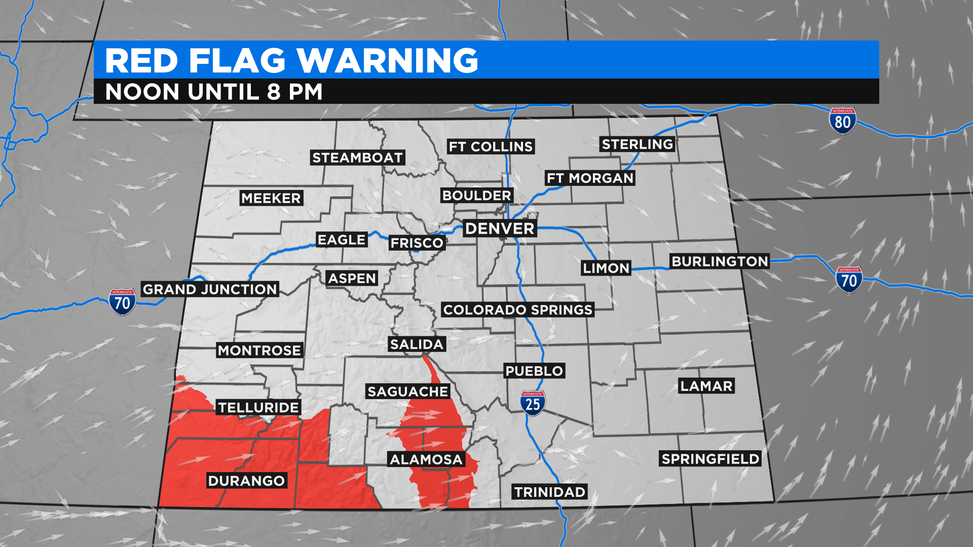
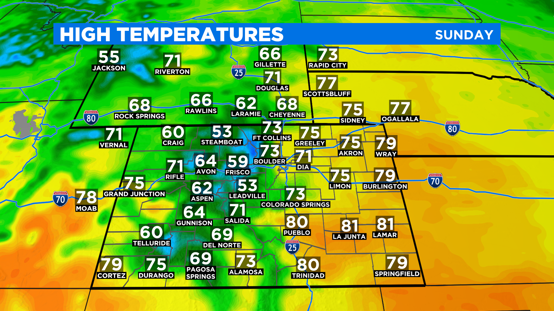
Temperatures today will be about 10 degrees warmer for most areas compared to Saturday. It could also be windy at times and that will raise the fire danger, especially in southwest and parts of south-central Colorado where there is a Red Flag Warning in effect between 12-8pm today.
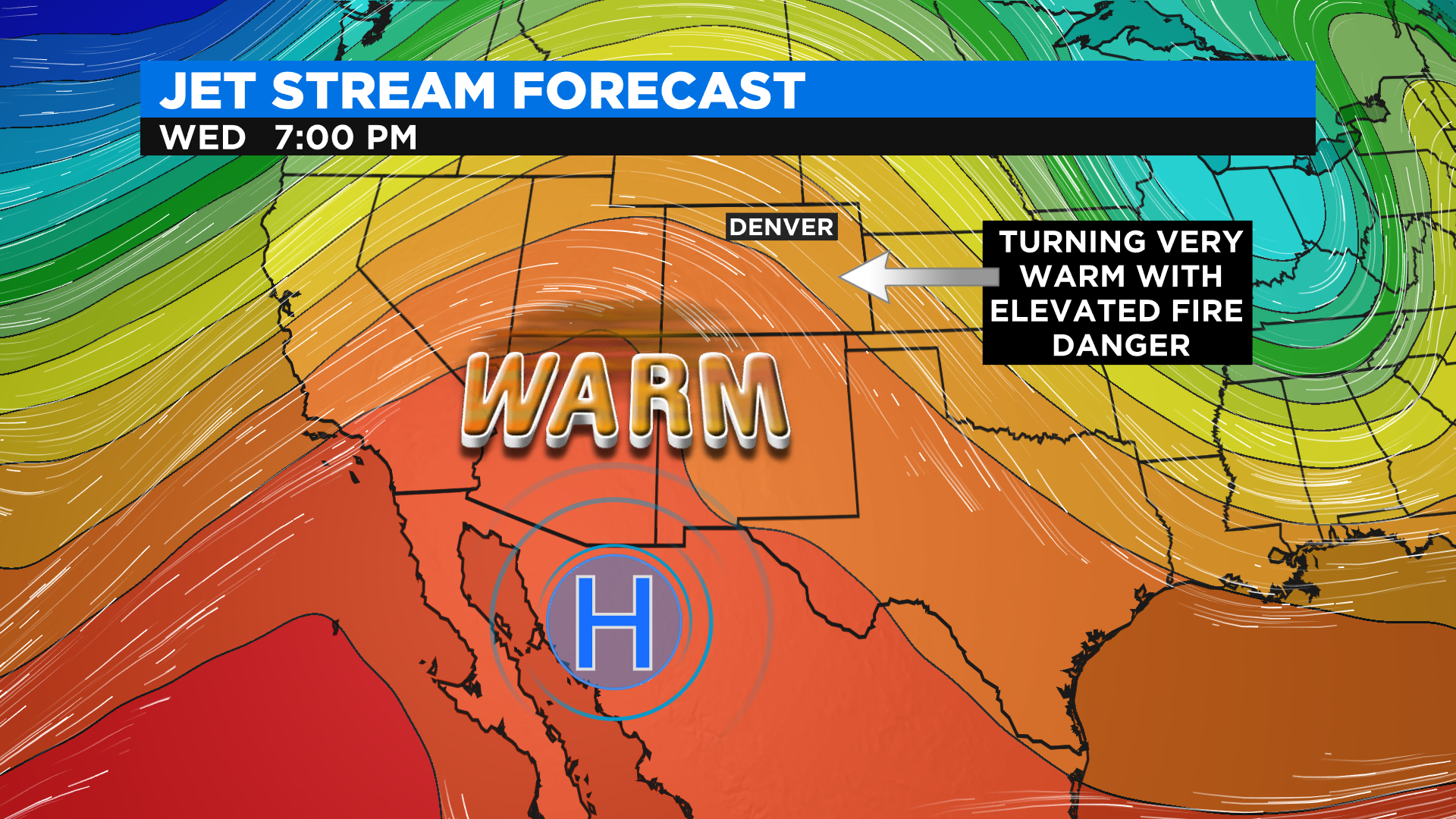
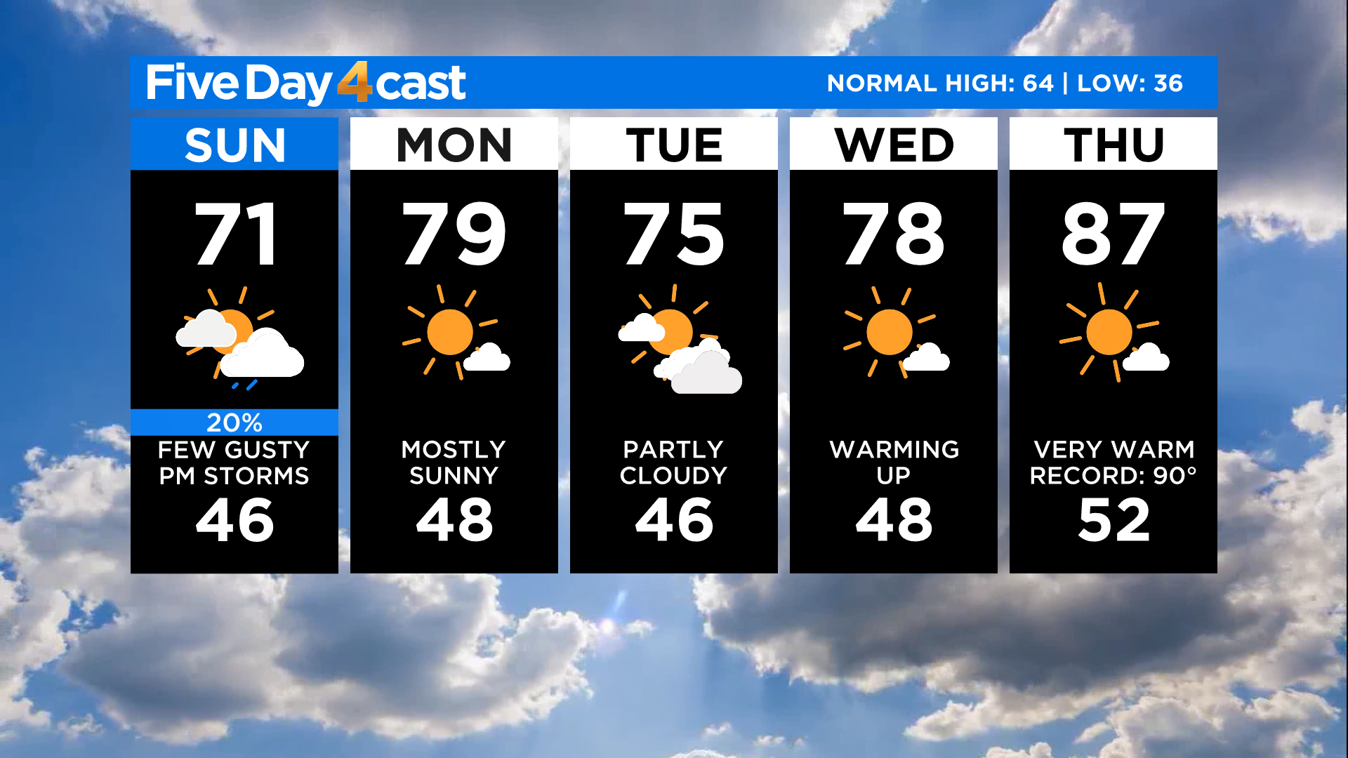
We are still tracking a large ridge of high pressure that will move in from the southwest over the next few days. By Thursday and Friday we could see some communities approach record highs. Mid to upper 80s and lower 90s will be very common in the lower elevations of eastern and western Colorado by the end of the week. Our mountains will be in the 50s and 60s.