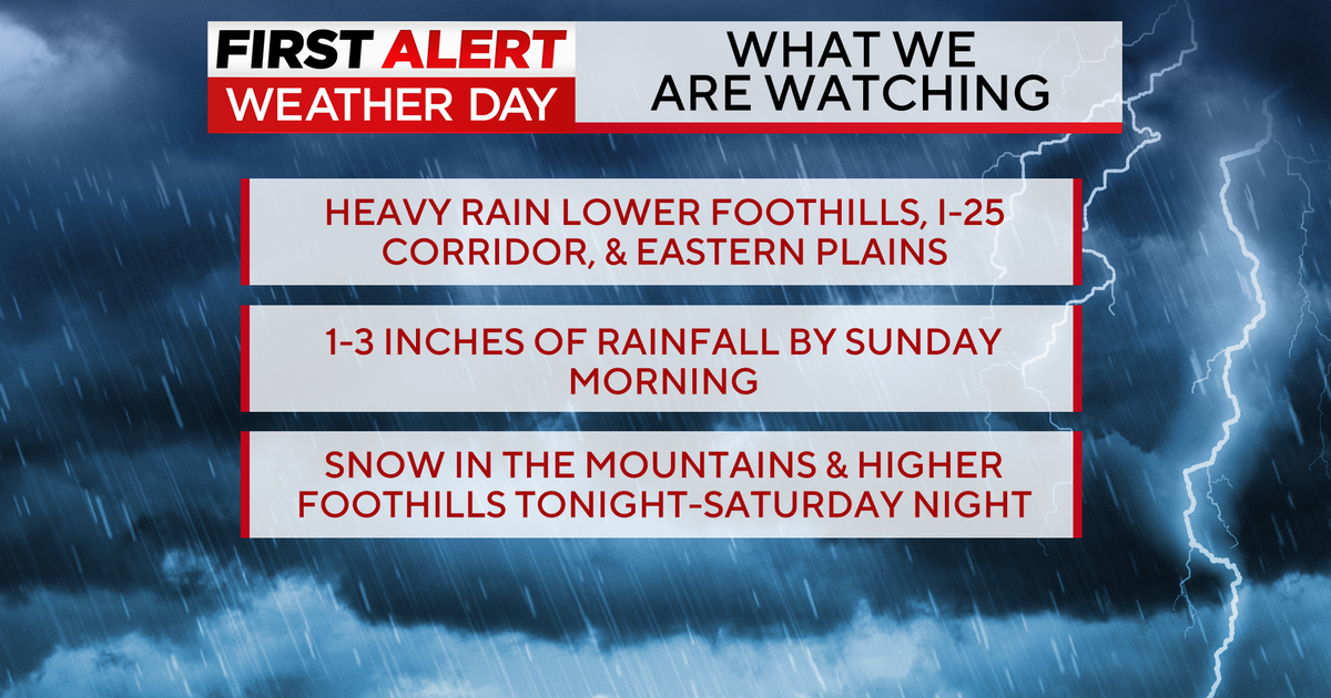
Colorado Weather: Potent Winter Storm May Impact Region By Late Wednesday
DENVER (CBS4) - An area of low pressure to the west of Colorado will begin moving east later this week and it threatens to bring a moderate to heavy snowfall somewhere along the east side of the Rockies. Confidence in the storm producing snow is relatively high but confidence in how much and where is low simply because the exact path is not yet certain.
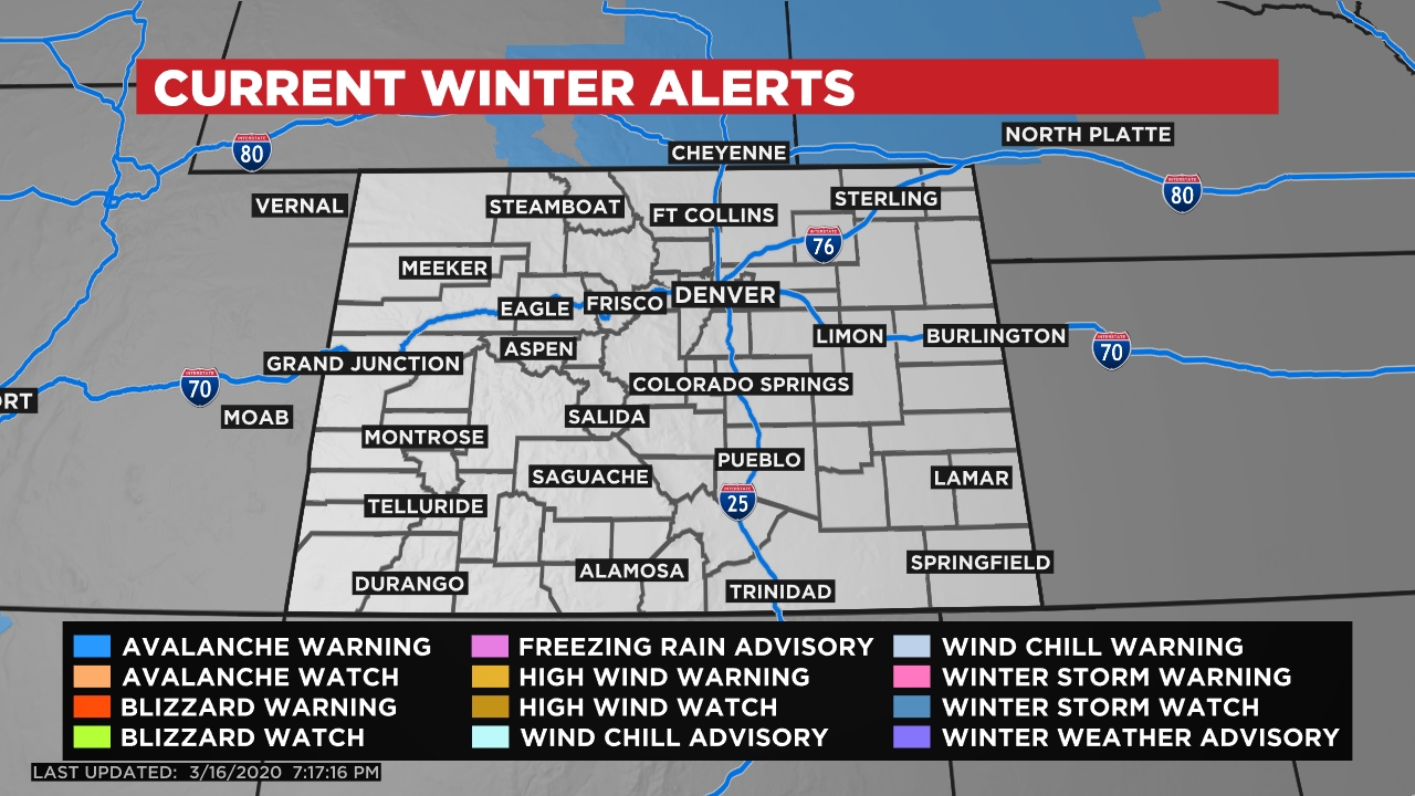
As of this posting at 7:30 pm on Monday there were no watches, warnings or advisories in effect across Colorado. But just to our north the National Weather Service in Cheyenne has already issued a Winter Storm Watch for a large part of southeast Wyoming and western Nebraska. (areas in blue on the map above)
A watch means you should pay close attention to the forecast over the next 12-36 hours because there is still some uncertainty in the exact details.
One complication with forecasting this type of weather event is trying to determine where the surface area of low pressure associated with the storm will develop and strengthen. This is a process called leeside cyclogenesis in meteorology.
The heaviest snow and strongest wind is typically found along and to the north or northwest side of the surface low pressure, so small changes in where it develops can result in rather large changes to the forecast. For now plan on something moving through our region late Wednesday and producing cold and potentially wet weather all day on Thursday. Stay tuned to CBS4 for the latest update!