Colorado Weather: Mountain Travel May Become Impossible With Weekend Snowstorm
DENVER (CBS4) - A storm expected to rival the storm that hit around Thanksgiving will bring huge amounts of snow to the Colorado mountains. But this time around Denver and the urban corridor won't see much other than light snow and lots of wind.
The snow will come in two surges for the mountains. The first arrives on Thursday and continues through Friday afternoon. Then after a lull in the action, another surge of snow will fall from Friday night through Sunday.
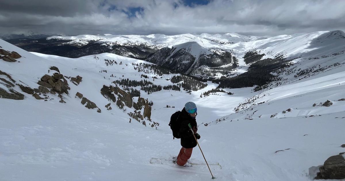
The northern and central mountains including the Interstate 70 corridor above Georgetown is under a Winter Storm Warning until 5 p.m. Friday. The mountains of Summit County will see 12 to 18 inches of snow during this time. West of Copper Mountain totals should range from 6 to 12 inches including around Vail and Aspen.
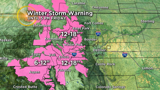
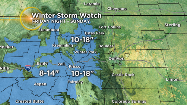
Then for the second part of the storm, a Winter Storm Watch has been posted for for the same areas for Friday night through Sunday. An additional 10 to 18 inches of snow is expected for Summit County and the Winter Park area. Areas above 9,000 feet west of Copper Mountain should see at least 8 to 14 inches of additional snow through the weekend.
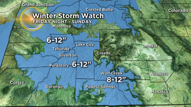
For mountain areas farther to the southwest including the San Juan Mountains, amounts will be less. That said, 6 to 12 inches of snow is still expected around Telluride and Purgatory with somewhat higher amounts near Wolf Creek Pass.
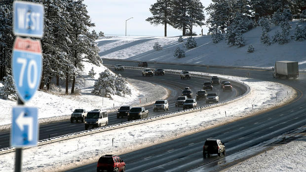
Travel will be become difficult in the high country on Thursday and Friday and will likely become impossible in some areas due to closed roads on Saturday and Sunday. Accidents will cause significant delays and plow crews will struggle as the snow persists for several days.
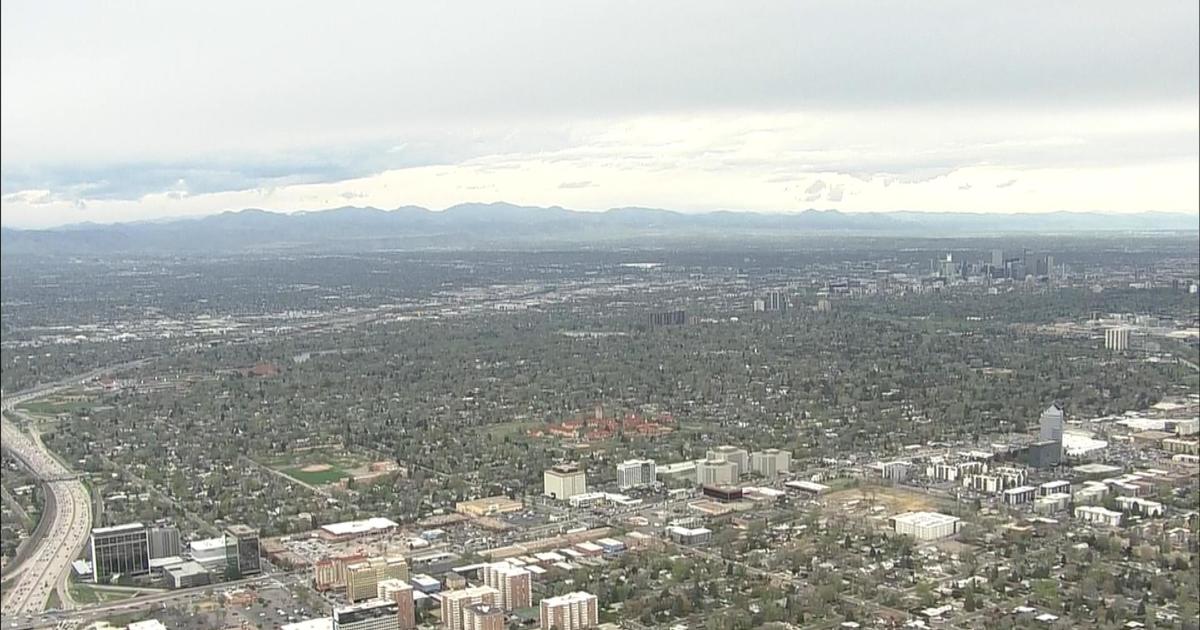
For Denver and the Front Range, the biggest issue from this storm through Friday will be wind. Gusts could easily top 30 mph in the metro area on Friday afternoon. Then a few snow showers are possible on Saturday followed by a somewhat better chance on Sunday. Any accumulation within the metro area is expected to be minor. Dry weather will return nearly statewide on Monday but cold air will remain.