Denver Weather: Unusual December Rain Changes To Snow Later Today
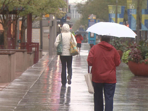
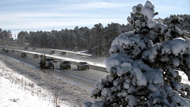
DENVER (CBS4) - December is the coldest month of the year in the Denver. Rain is somewhat rare. Yet most areas below about 6,000 feet will see rain through Thursday afternoon before seeing a change to snow.
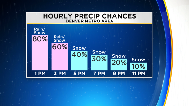
The chance for precipitation climbs quite high by late morning and early afternoon, meaning most areas will eventually get wet on Thursday. Once the rain completely changes over to snow, any accumulation will be minor with up to 1 inch on the grass and surfaces still covered from the snow that fell last week.
The snow will end during the evening and skies will gradually clear Thursday night into Friday morning.
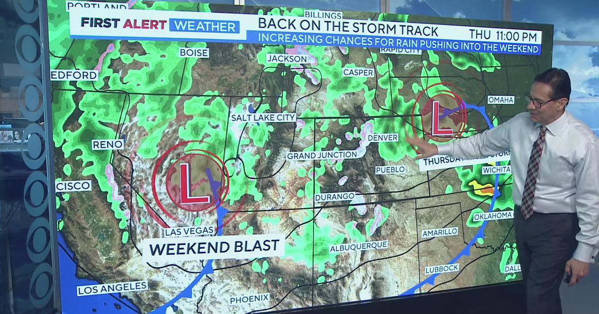
Precipitation will start with rain because there is no genuine cold front with this storm. It originated in southern California and will move into Colorado from central Utah which is a somewhat unusual storm direction for December.
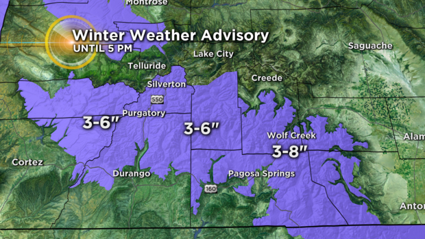
In the mountains, the only advisories in effect are for the Grand Mesa, Uncompahgre Plateau, and portions of the San Juan Mountains.
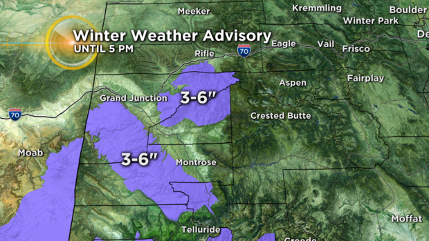
This areas will see another 3-6 inches of snow on Thursday with perhaps a little more near Wolf Creek Pass.
Additional accumulation along the I-70 mountain corridor including the mountains of Summit County will be limited to 1-4 inches.
After the storm clears out of Colorado Thursday night, sunny weather will return for Thursday but temperatures will stay chilly with highs in the 40s in the metro area. Warmer weather will return for the weekend.