Spring-Like Winter Storm Will Rapidly Depart By This Evening
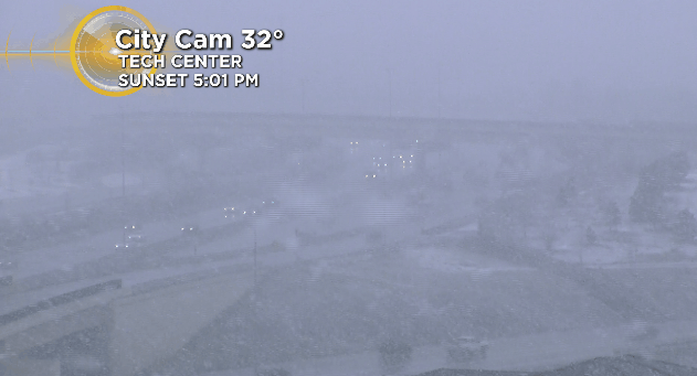
DENVER (CBS4) - A winter storm moved into Colorado's Front Range as expected Friday morning but it packed a little bit more of a punch in some areas than we thought it would.
That's largely due to the spring-like nature of this system which was producing convective snow showers, or the equivalent of afternoon thundershowers during the summer, only without the lightning and thunder.
Convective snow showers are hard to predict and typically produce snowfall rates up to 2" per hour which can cause road conditions to rapidly decline, as was the case south of Denver in Douglas County.
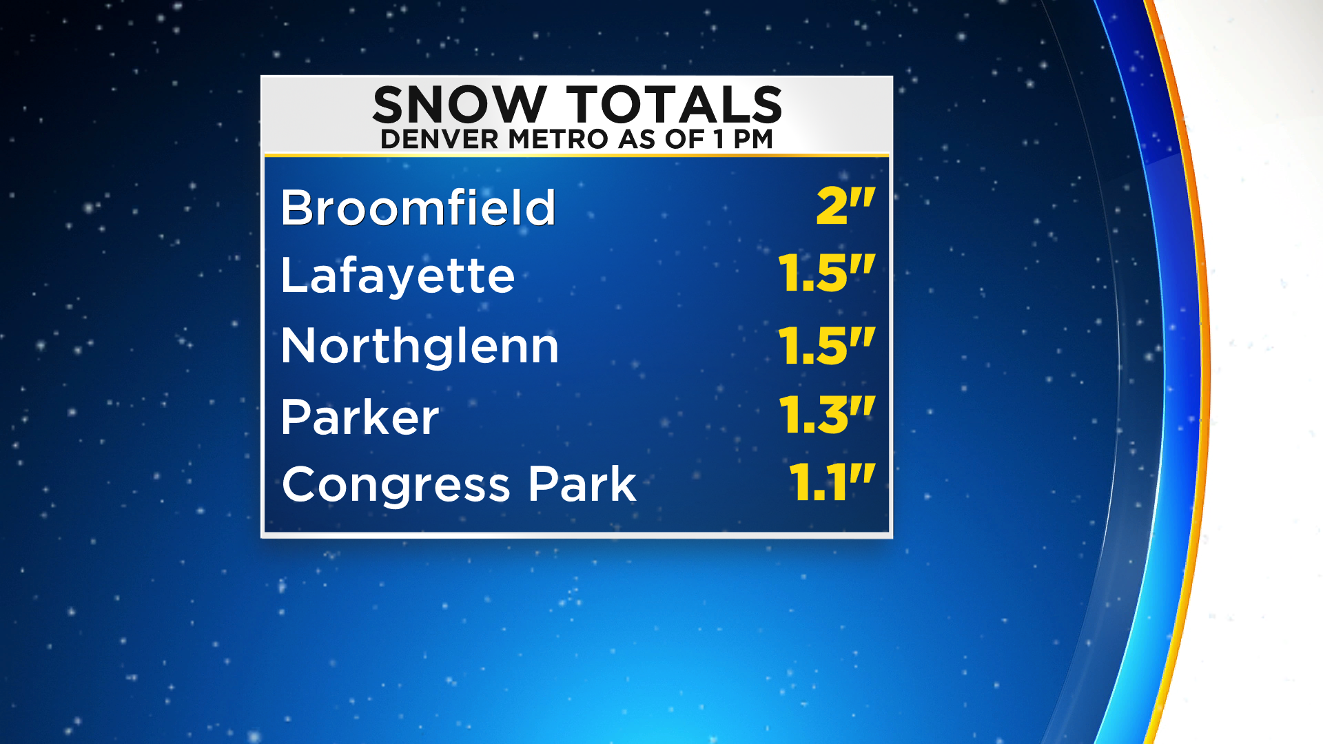
Due to the warm nature of this storm system a mix of rain and snow was falling between downtown Denver and Fort Collins. As of 1 p.m. some places have recorded up to 2" of wet, slushy snow, with higher totals along the Palmer Divide.
The storm system will rapidly depart by Friday evening leaving clearing skies and falling temperatures. Icy roads will be possible through Saturday morning along the Front Range and in the mountains.