Cooler Temperatures On The Horizon
DENVER (CBS4) -
What a scorcher on Thursday! Despite the cloud cover, we managed to climb to the upper 90s! This was our 14th day so far this year with temperatures in 90s and our 17th straight day with above normal temperatures.
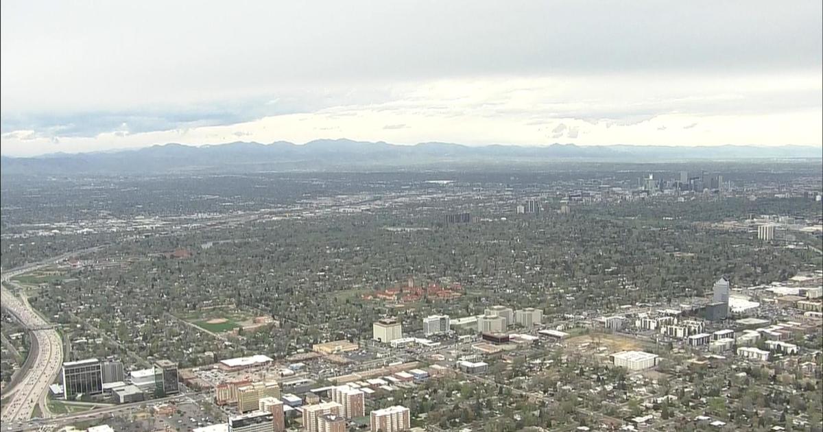
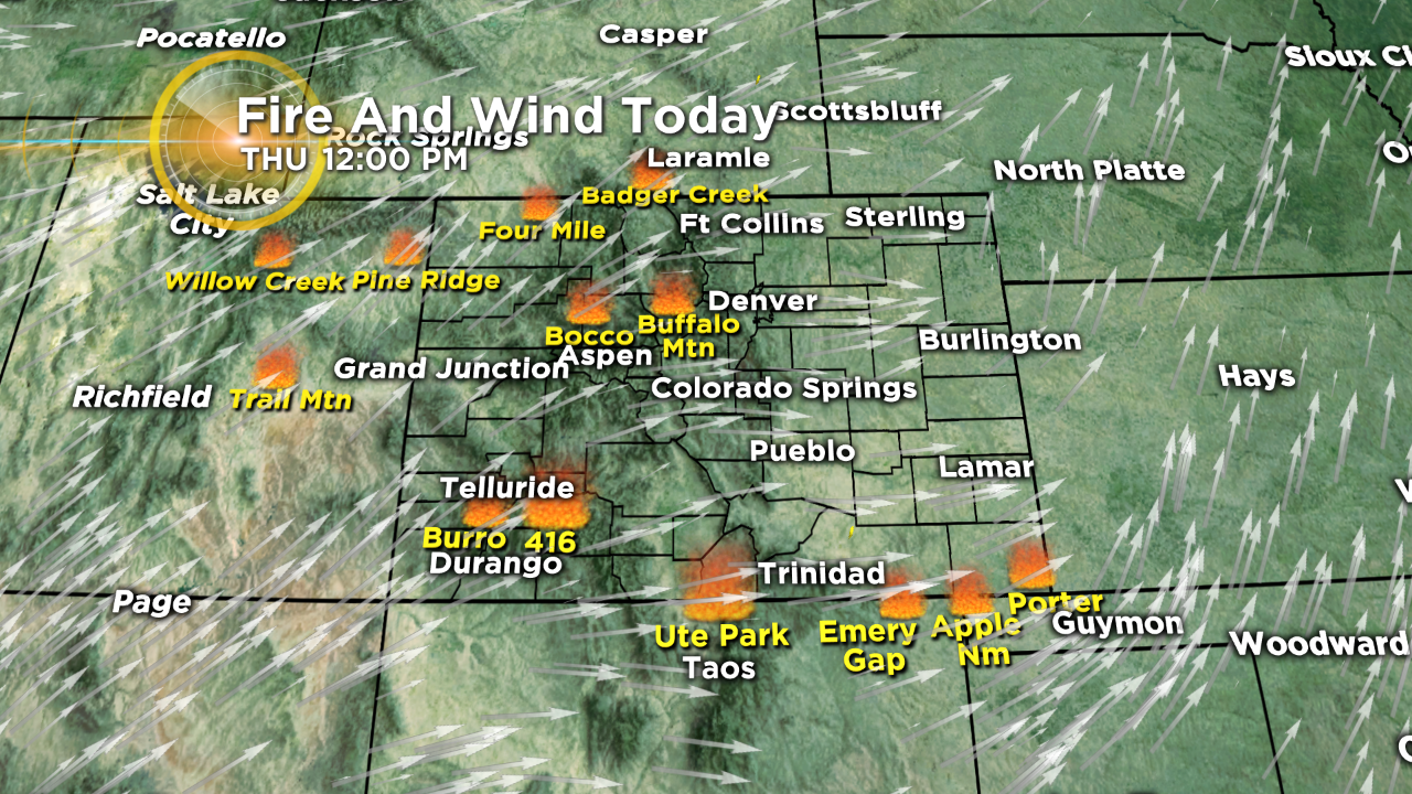
The same south-southwest winds that are bringing the heat are transporting tremendous amounts of upper level smoke and haze over the Front Range and most of the state.
A few storms could persist into the late night hours, but they should stay below the severe threshold.
Friday bring more heat, but it won't be as hot. We'll also see a change in the overall weather pattern will start Friday as moisture associated from what was Hurricane Bud in western Mexico will stream northeast across Arizona and into Colorado. A lot of the moisture will be on the Western Slope and in the mountains but we'll see a 30-40% chance for showers and thunderstorms along the Front Range from Friday through early next week.
Sunday we'll really cool off to the low 80s, and could even see the 70s by Monday!


Watch meteorologist Lauren Whitney on CBS4 News on weekday evenings at 5, 6, 6:30 and 10 p.m. Check out her bio, connect with her on Facebook or follow her on Twitter @LaurenCBS4.