CBS4 Mountain Timelapse Shows Winds Of Change
DENVER (CBS4) - There are so many neat tools that meteorologists use to tell the weather story in this modern age, including radar and satellites that are connected to sophisticated super computers.
But just as the old saying goes, "a picture is worth a thousand words," perhaps one of the most simple, yet visual tools we have to monitor current conditions in the Colorado Weather Center at CBS4, is the camera.
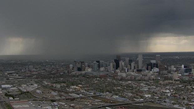
When put into timelapse, it can capture things like cold fronts, warm fronts and wind shear. And sometimes even smaller scale weather phenomena, like blowing dust.
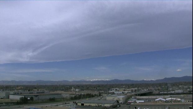
The timelapse linked at the top of this story was taken Wednesday morning from our mountain camera along I-70 and Evergreen Parkway. In the first half, you can see clouds moving toward the camera, indicating the general flow of winds up high in the atmosphere.
You can also see some low clouds that settled into some of the valleys overnight begin to lift as the sun rises and mixes the air.
Now replay the video, and this time, watch the clouds moving from left to right near the bottom of your screen, right along the spine of the Continental Divide.
This wind pattern reflects what was happening at the surface Wednesday morning in western Colorado, where the winds near the ground were blowing out of the southwest, creating an upslope on the western side of the mountains, which produced some morning rain and snow showers.
Toward the end of the timelapse, you can see the atmosphere starting to warm up and dry out, evident by the overall decrease in cloud cover, both high in the sky and near the mountain tops.
A timelapse can be a great tool during any time of the year, but will become particularly useful as we move into the late spring and summer months, especially on a day when we expect severe weather.
Because a timelapse clearly shows wind direction moving at different levels of the atmosphere, evident by cloud movement, they allow a forecaster to visually see things like wind shear, which plays a big role in severe thunderstorms that rotate and produce tornadoes.
And sometimes we just get lucky with a timelapse, and capture really cool things that you can't see with the naked eye, such as the certain planets and stars, as they come up on the horizon and track across the morning or evening sky.