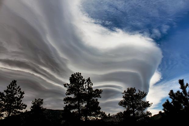
CBS4 Timelapse Shows Awesome Mountain Wave Cloud
DENVER (CBS4) - They can be every forecaster's nightmare if predicting weather in a mountainous location; we're talking about that beautiful, but pesky, mountain wave cloud!
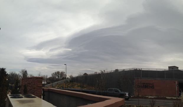
These clouds are formed when there is a relatively fast flow of air blowing perpendicular to a topographical barrier, such as mountains. In addition, the atmosphere needs to be relatively stable.
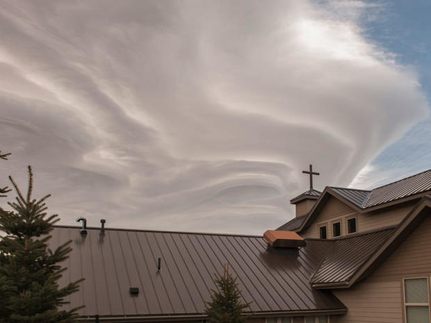
When that air is forced up and over the barrier, it creates a gravity wave downwind, similar to if you threw a pebble into a still body of water.
If there is enough moisture present above the mountains, clouds will develop in the crest of these waves. The clouds are known as Altocumulus Standing Lenticular clouds.
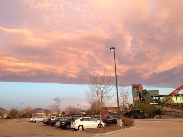
These clouds are constantly developing and dissipating in the vicinity of the wave's crest, which is why when seen in a timelapse, they appear to remain stationary.
While pretty to look at, if they stick around long enough, these clouds can cause forecast highs to bust by as much as 10 degrees.
Mountain wave clouds can also be dangerous to aviation, causing severe air turbulence.