Temperatures Soar Back Into The 90s. This Won't Last Much Longer.
DENVER (CBS4) - Our late summer heat wave started last Saturday and will continue on Wednesday with highs in the lower 90s. That more than 10 degrees above normal for the middle of September and is not far from a record. In fact the Denver areas has been within 4 degrees of a record everyday since Saturday and we expect the same Wednesday afternoon.
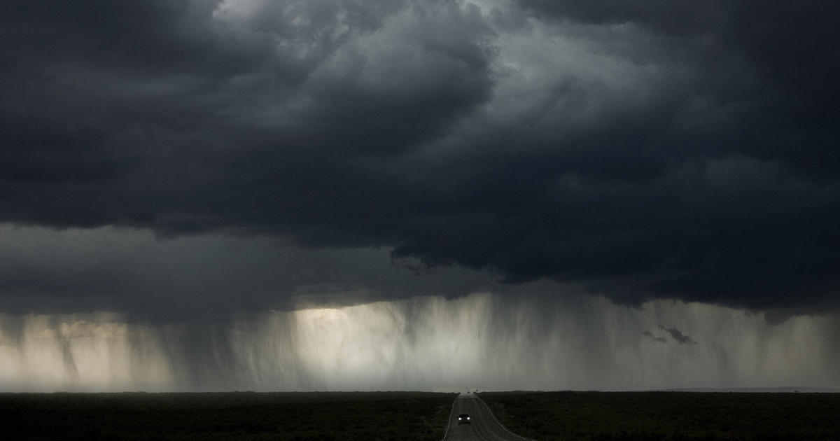
We also expect scattered showers and thunderstorms to develop in the Colorado high country Wednesday afternoon. After 2 p.m. upper level winds may be transport one or two storms east to the Front Range but overall chance of a thunderstorm in the metro area is 20% or less. And if you happen to get a storm, plan on more wind than rain. Wind gusts could reach 45 mph.
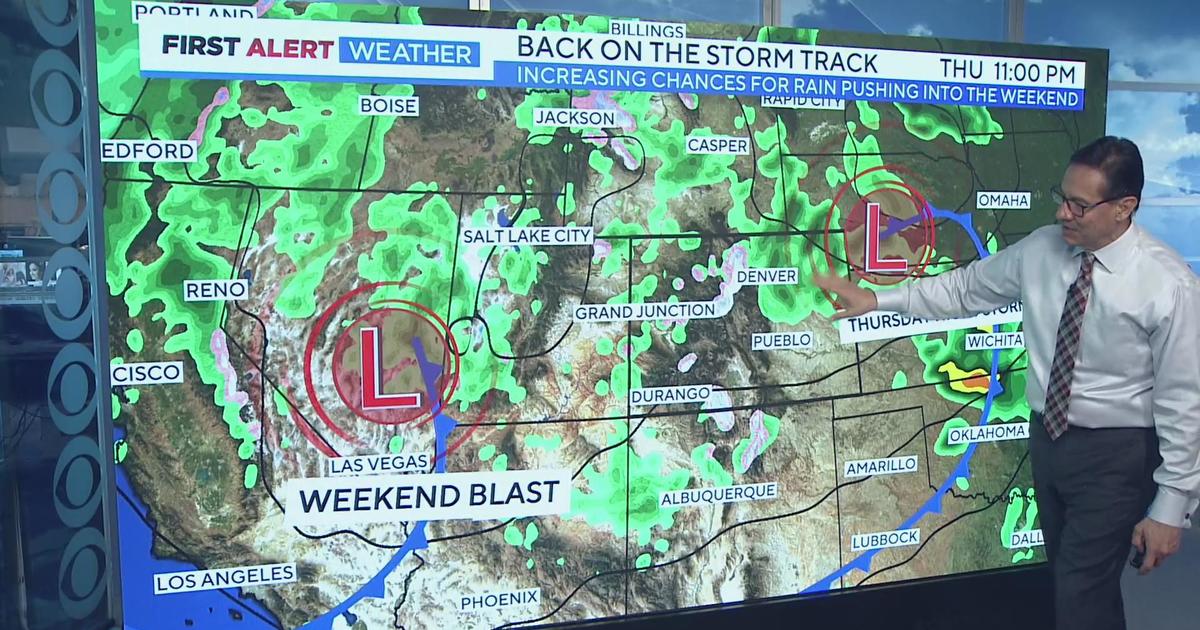
Thursday will bring us a somewhat better chance for showers and thunderstorms especially in the mountains. If the Denver, Boulder, or Fort Collins areas is going to see any rain in the near future it will have to be Thursday. Because starting Friday we'll see a very dry weather pattern that could continue for more than a week.
And although the weekend will be dry, it will also be relatively cool. Highs on Saturday will be in the lower 70s in Denver followed by upper 70s on Sunday. It looks beautiful for Broncos-Cowboys game at Mile High Sunday afternoon.


Ashton Altieri is a Certified Broadcast Meteorologist. Watch him on the CBS4 Morning News weekdays from 4:30 a.m. to 7 a.m. Connect with Ashton on Facebook and on Twitter @AshtonCBS4.


