Another Batch Of Late Day Storms
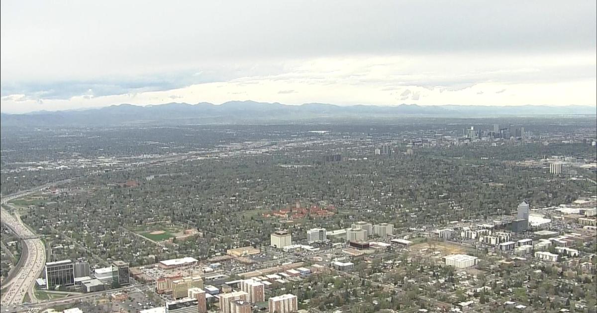
DENVER (CBS4) - Another afternoon of strong storms soaked and battered parts of eastern Colorado on Saturday.
Heavy thunderstorms produced small hail and heavy rain over many locations across the Denver metro area. Places like Arvada, Wheat Ridge, Broomfield, Aurora, Castle Rock and Bennett received a half inch to nearly 1.5 inches of rain in about 30 to 45 minutes.
Later in the afternoon storms were strong enough to produce a tornado near Arickaree School and Cope. Along with a huge line of heavy rain from Denver and Colorado Springs east to the Kansas state line.
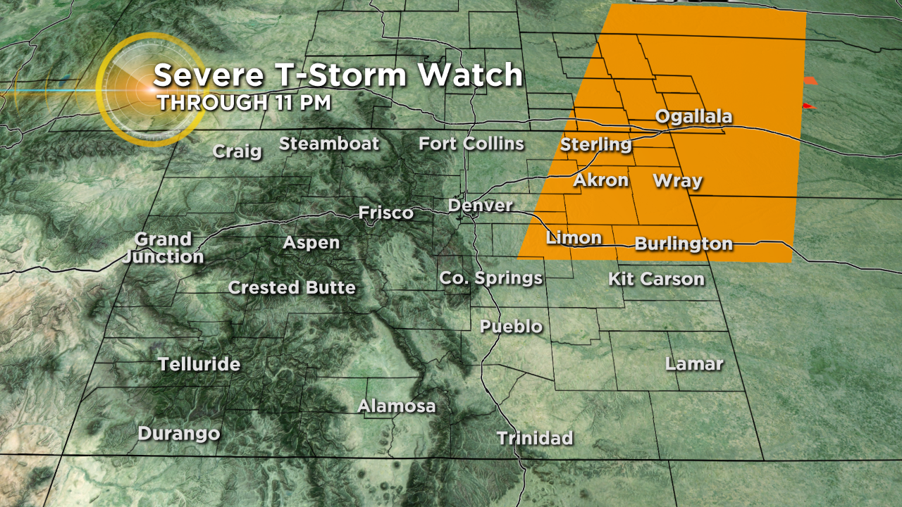
There is a Severe Thunderstorm Warning still in place of a large chunk of east and north-eastern Colorado through Saturday night.
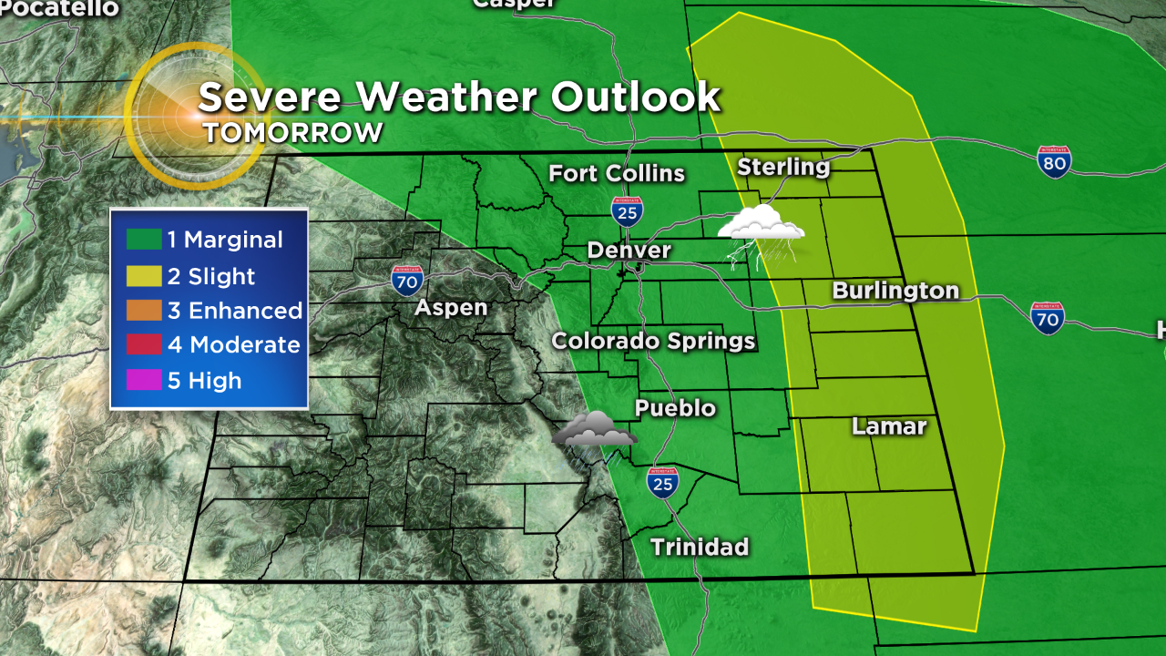
Looking ahead for Sunday it looks like more of the same. Morning fog over the eastern plains, sunshine in the middle of the day and then afternoon thunderstorms. Some of the Sunday storms may be severe with hail, heavy rain and damaging wind gusts another time!
The current weather trend for Denver will continue to roll on thru Tuesday. With middle 80s for highs and daily afternoon and evening storms. Drier air should start to work in by Wednesday with mostly sunny skies and slightly warmer temperatures.


Meteorologist Dave Aguilera is a Colorado native and has been forecasting weather in the Rocky Mountain region for over 25 years! Connect with Dave on Facebook and on Twitter @DaveAgCBS.