Hurricane-Force Winds Warm Denver Nearly 60 Degrees In 12 Hours
DENVER (CBS4) - Winds from a strong jet stream roaring over Colorado mixed down into the foothills west of Denver on Monday and brought a much anticipated warm up to the region.
The downslope winds, known as a Chinook wind, are sometimes called snow eaters because of the rapid rise in temperature they can create which quickly melts snow.
At 2 p.m., the temperature at Denver International Airport was 52 degrees, which was 57 degrees warmer than the overnight low of -5, recorded at 2:04 a.m..
But not everyone was feeling the January thaw.
Less than 60 miles away in Greeley, where cold air was still trapped in the South Platte River Valley, the 2 p.m. temperature was just 19 degrees.
RELATED: Cold Air And The Terrain Across Colorado | Severe Winds Often Hit Colorado With A Fury
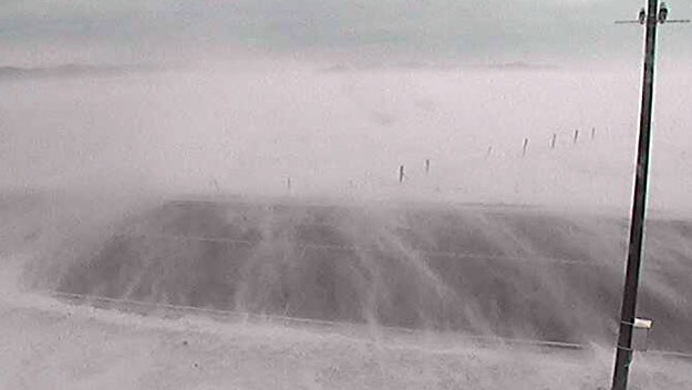
While winds haven't been too strong in Denver, they've reached dangerous levels in the higher elevations west of Interstate 25.
TOP GUSTS ON MONDAY
- 94 mph at 11:27 a.m., 2 miles SSE of Gold Hill in Boulder County
- 91 mph at 11:05 a.m., 4 miles ENE of Nederland in Boulder County
- 88 mph at 10:45 a.m., Aspen Springs in Gilpin County
- 71 mph at 11:29 a.m., Downieville in Clear Creek County
- 70 mph at 11:20 a.m., Floyd Hill in Clear Creek County
High winds also hit in the foothills west of Fort Collins, with a peak gust of 76 mph record near Glen Haven and 68 mph near Virginia Dale.
MORE: Extreme Winter Weather