Xcel Keeps Dead Trees Off Power Lines With Mapping
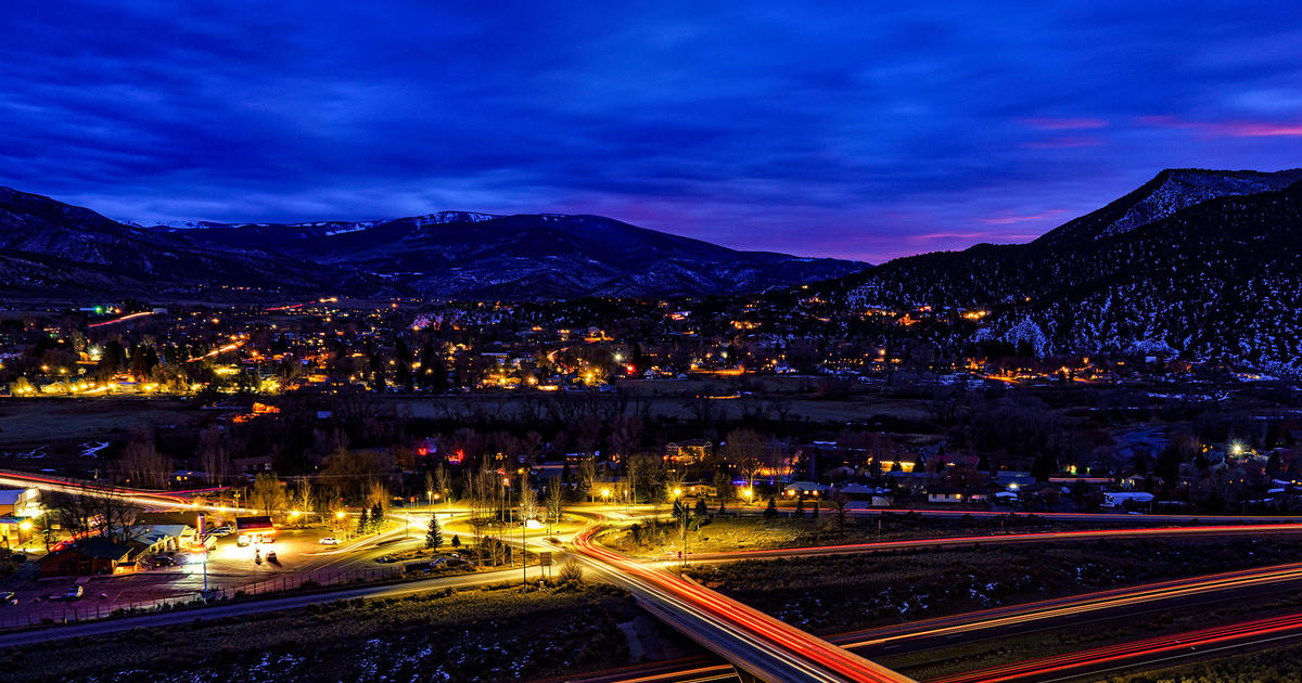
EAGLE, Colo. (AP) — Mike Zemlock held his helicopter steady about 400 feet above the power line he was following over Rocky Mountain valleys and slopes, while Chris Hakes sat in the back with a jumble of computer gear.
From beneath the chopper, a pod sent out 150,000 pulses of laser light per second in search of the devastating work of mountain pine beetles — dead trees that could fall on Xcel Energy power lines.
To reduce the risk of falling trees and fire, Xcel, Colorado's largest utility, is using light detection and ranging technology, or lidar, to search for dead and dying trees near its 13,000 miles of lines.
In the past decade, the mountain pine beetle has infested more than 3 million acres of the state's forests, leaving gray hulks in their wake.
"We are seeing thousands of dead trees along our lines," said Jim Downie, Xcel's director of vegetation management. "We looked for an innovative way to deal with that risk."
The traditional way of checking a line is on foot, but Downie said that leaves "a high risk of missing something ... or erring on the side of safety by cutting down trees that don't pose a risk."
And so over the mountain forests and plains, Zemlock is maneuvering his helicopter, at about 40 mph, scanning 800 miles of power lines this summer.
Lidar, combined with a Global Positioning System and digital and infrared cameras, is creating a detailed record of a 400-foot-wide swath, centered on the power lines.
Algorithms analyze the data and can calculate if a beetle-infested tree is close enough and tall enough to fall onto a line or if forest litter is building up near power poles.
The calculation is that 10 tons of material or "fuel load" per acre creates a fire risk.
The findings are sent to Xcel crews that fell trees and manage debris. In the past four years, more than 250,000 hazardous trees have been removed at a cost of about $17 million, Xcel's Downie said.
"Lidar is a quick and easy way to measure large areas," said Zemlock, 47, who has flown lidar projects on power lines, rail lines and pipelines in all the Lower 48 states except Maine.
Zemlock has traced the rail line from New Orleans to Canada and found that a power line in Arizona was 2 miles from where the utility thought it was. Lidar also has been used by NASA to map clouds.
"Using it on pine bark beetles, though, that's unique," Zemlock said.
Hamilton, Ontario-based GeoDigital International Corp. is doing the mapping for Xcel.
Lidar works on the same principle as radar, but instead of longer radio waves, the technology uses short light waves, enabling it to detail smaller structures.
The system can pinpoint the location of a dead or dying tree within 6 inches, said Jaden Langford, the GeoDigital field lead for the Xcel project.
The photo record is sharp enough to show serial numbers on the towers.
While Zemlock navigates the power lines — the runs are made in the morning, before the summer winds kick up in the mountains — Hakes, 25, sits in the back with the gear.
As GeoDigital's "airborne operator," his job is to make sure that the reams of laser and photographic data that the pod on the belly of the helicopter gathers is being properly recorded.
In a morning's run, the system amasses about 500 gigabytes of data — equal to 250 full-length HD movies or more than 100,000 MP3 songs.
At the field office — a room at the local Holiday Inn Express — Langford downloads the data (it takes about 90 minutes) and reviews the material for quality control.
It is then sent to the Ontario office for analysis.
The lidar scans and photographs are used to create a vivid, three-dimensional view of what is happening on the ground.
"Through the cameras, we can see healthy green trees; red, pine-bark-beetle-infested trees; and gray, dead trees," Downie said.
By combining the GPS and lidar data, the height and spacing of every tree within the scanned area is calculated.
Xcel's policy has been to check each of its lines about once every five years, Downie said. In pine-beetle territory, that has now been switched to every two years.
"In the past, it wasn't as important to know exactly where a line was or its condition," Downie said. "But that's changed."
By Mark Jaffe, AP Writer (© Copyright 2013 The Associated Press. All Rights Reserved. This material may not be published, broadcast, rewritten or redistributed.)