NCAR Scientists Get High-Flying New Tool To Help With Forecasts
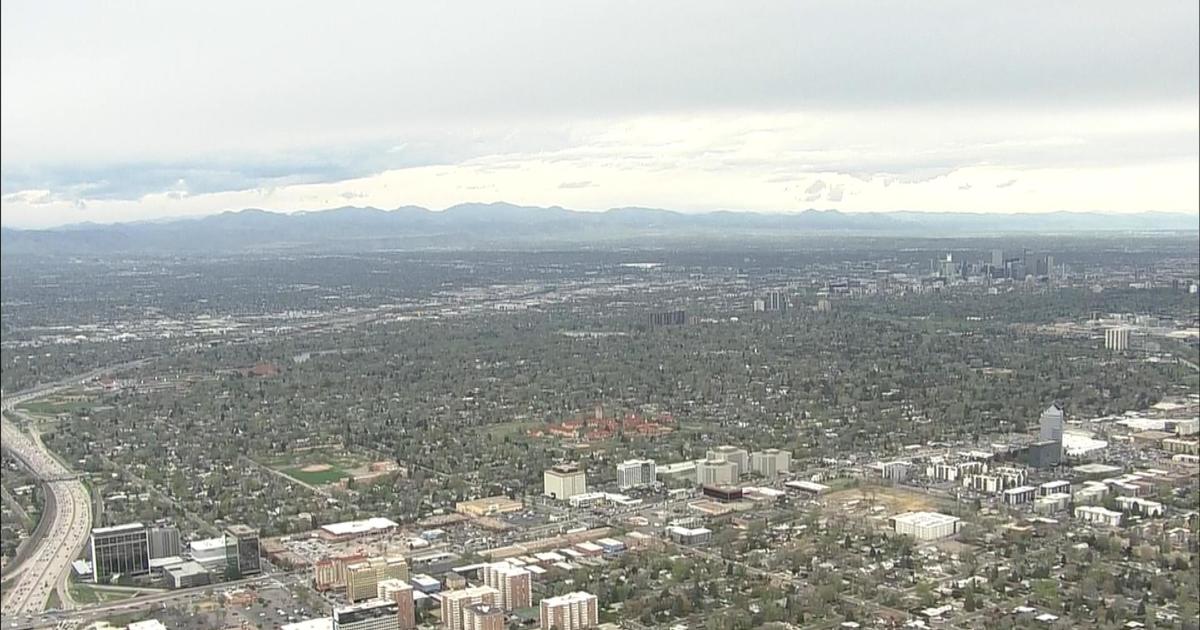
BOULDER, Colo. (CBS4) - Scientists at the National Center for Atmospheric Research in Boulder are heading up a project to help improve forecasts for severe weather in the central United States.
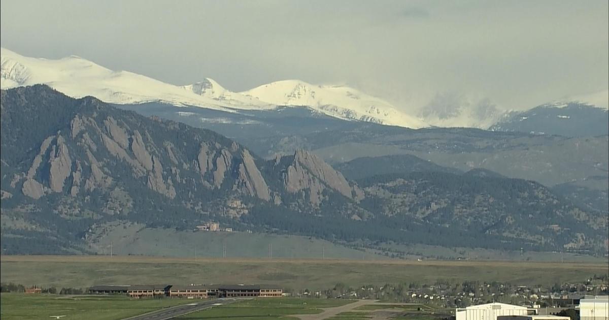
From May 15 to June 15, they have access to a specialized airplane to gather information from the skies over the Rocky Mountains.
"Everybody is familiar with the fact that there are severe storms on the High Plains," said Morris Weisman, a senior scientist with NCAR. He is also one of four principal investigators.
"From here all the way east to the Mississippi Valley is Tornado Alley, but what people tend not to realize is how important the air mass over the mountains is to those severe weather outbreaks and the ability to forecast those severe weather outbreaks," Weisman said.
Right now the National Weather Service counts on readings called "soundings" to get information on the atmosphere a couple of times a day from Denver and Grand Junction.
"A lot of weather happens between those two locations," Weisman said. "There are a lot of details of the atmosphere that we're not observing directly. We feel that sometimes those details make all the difference in the world if you are going to get a severe storm outbreak to the east or not."
The project called Mesoscale Predictability Experiment will have scientists in the plane from 3 a.m. until 9 a.m. when severe weather on the plains is in the forecast. They hope to actually get in the air 12 days during the month-long project.
"We're able to use the G-5 aircraft which can fly up at the top of the troposphere around 40,000 feet," explained Weisman. "We can fill in the all of the gaps in the atmospheric conditions over the mountains prior to convective outbreaks in the afternoon.
"We'll be filling in with sounding information of temperature, moisture, winds all through the mountains at a much higher resolution in this part of the world."
The same sort of technology has been used by hurricane hunters and over the western Pacific Ocean to help forecast winter weather.
This is the first time it's been used over the Rocky Mountains to see how conditions there affect weather to the east, especially how the jet stream impacts severe weather.
"It's the little features, the little jiggles in the jet stream, what we call short waves in the atmosphere, that accompany the jet stream," Weisman said. "Those little details make a huge difference in some days in thunderstorm initiation."
That's because the air coming in from the west is lifted over the Rocky Mountains. That produces waves in the atmosphere but on very small scales.
The idea is by documenting what's happening over the Rockies on days when severe weather does develop, the information can be put into numerical models, which in turn would improve forecasts.
"It won't improve where every individual thunderstorm is," Weisman explained. "What we're hoping to do is avoid the big forecast errors. For instance, a big thunderstorm system develops in Kanas when we forecast it for Nebraska.
"These numerical models can also tell us the difference between ordinary thunderstorms that might produce heavy rain and hail and what we call supercell thunderstorms than can really have a chance to produce big tornadoes like we had up in Windsor."
The goal is to improve the daily forecast, making the next six to 24 hours more accurate.
It should also help forecasters be more accurate when it comes to issuing severe storm or tornado watches by improving the lead time and defining the watch area.
"Hopefully these kind of lead times will improve to the point where we can get the storm spotters out in the right place, not waste resources, and that there will be less of these false alarms in terms of what areas are really at risk."
LINK: NCAR