First Alert: Drizzle and Snow Wind Down/Could Be Slick In The Morning
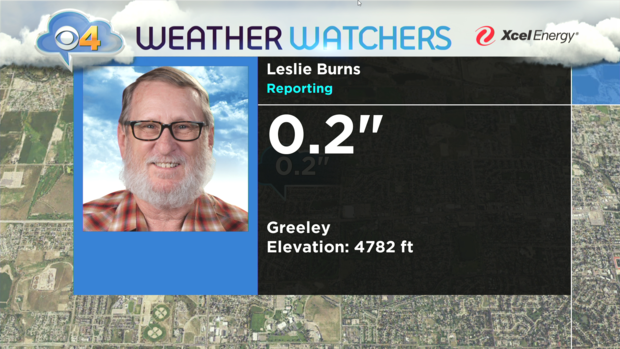
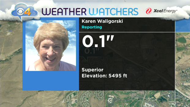
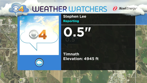
DENVER(CBS)- After a rough evening commute caused by icy roads loaded with freezing drizzle and very, light snow moisture will gradually come to an end overnight. The areas that did pick up snow, didn't see much. A few of our CBS4 Weather Watchers measured around a tenth of an inch on a thin layer of ice.
Temperatures will cool by morning down into the teens for most areas of the Front Range and Northeastern Plains. This will keep the icy conditions on many surfaces in place for the morning commute. If you park your car outside plan a little extra time for scraping the windshield.
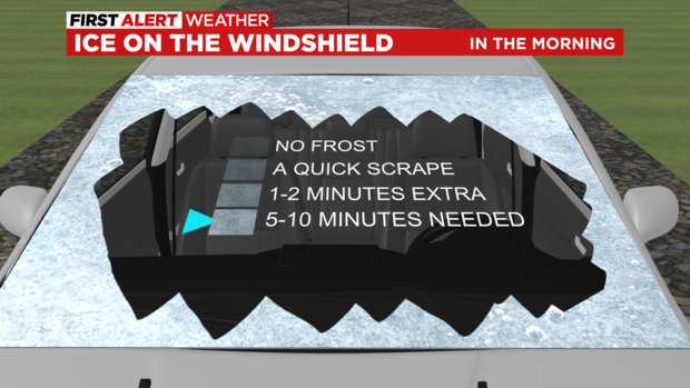
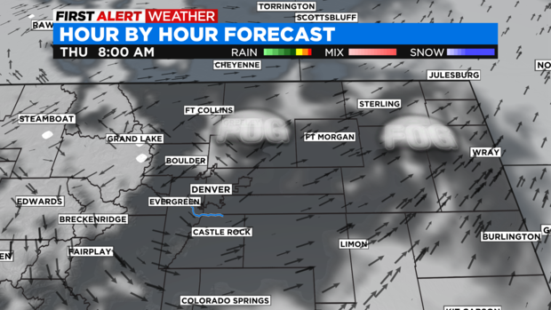
Plan on slick spots and black ice on many side streets during your morning drive. There may also, be areas of patchy fog here and there. Especially, from North Denver and DIA up into Weld County. Most of that should burn off by 9am. That will lead to a mostly sunny but, cool Thursday.
The next chance for snow and a possible First Alert Weather Day will be on Friday with a chance for snow by afternoon.