Denver Weather: The Coolest And Wettest Weather In Months Has Arrived
DENVER (CBS4) - Drought-stricken Colorado has finally been treated to an increase in moisture and a decrease in temperatures. The cool and unsettled weather will continue through Saturday.
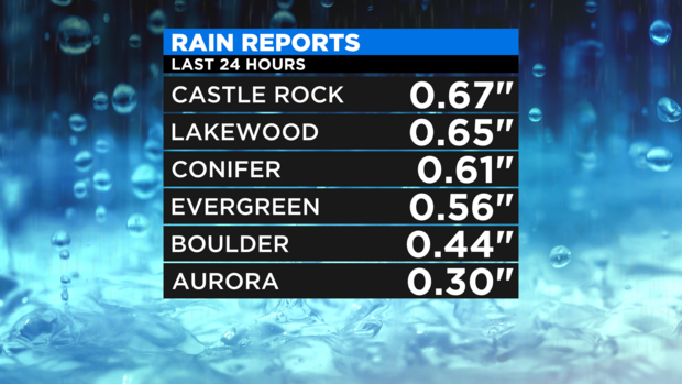
For Denver and the Front Range, the rain that arrived Wednesday and continued at times through early Thursday morning was the most significant moisture to reach the area since the end of June. Denver's airport (DIA) officially measured only 0.09" of rain as of 7 a.m. Thursday but other areas saw much more including more than a half inch of rain in Castle Rock, Lakewood, Conifer, and Evergreen.
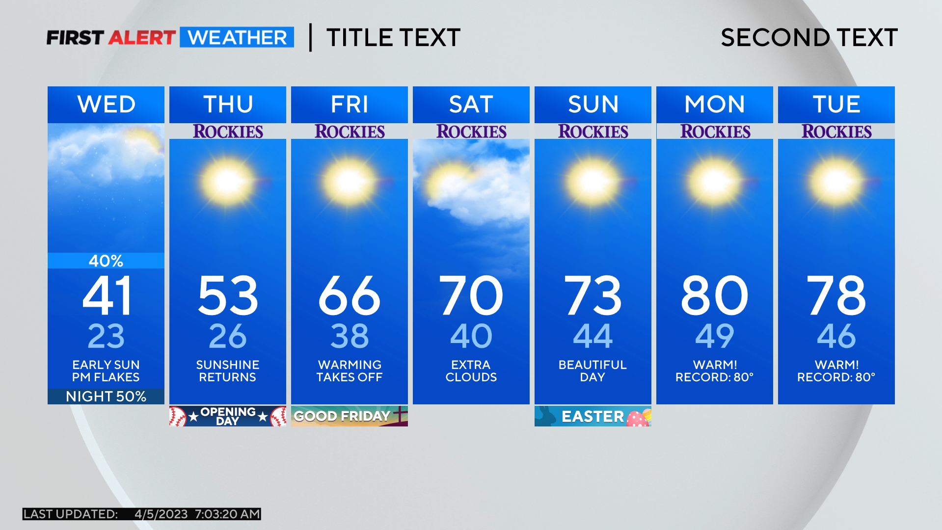
The remainder of the day on Thursday will be mostly cloudy and much cooler than normal but also mainly dry. Temperatures will struggle to reach 60 degrees in Denver making it the coolest day in the city since late May.
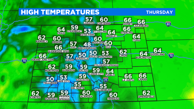
Most of the additional moisture in the state on Thursday will be limited to the Western Slope as well as areas south of Highway 50. This is especially true for the San Juan mountains in southwest Colorado. Areas around Telluride, Lake City, and Ouray will be soaked with rain at times and snow is expected above 10,000 feet.
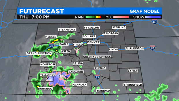
Periods of rain will also be monitored closely in Glenwood Canyon because of the threat for additional flooding that could close I-70 through the canyon again.
Looking ahead to Friday and Saturday, the bulk of the moisture in Colorado will be found in the mountains and not on the Front Range or Eastern Plains. That said, a chance for a few showers and isolated thunderstorms will continue in the Denver metro area both days before completely dry weather returns on Sunday.