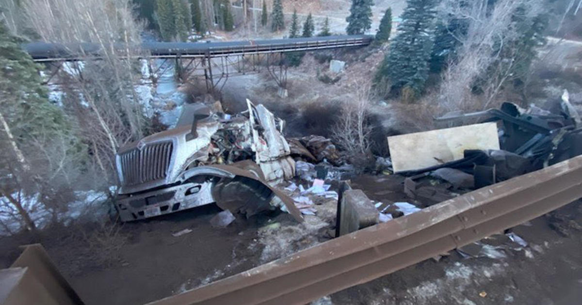
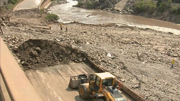
Debris Flow Onto I-70 Was So Powerful That It Diverted The Flow Of The Colorado River
GLENWOOD SPRINGS, Colo. (CBS4)- Thursday's up-close look of Glenwood Canyon showed the extensive structural damage to the east and west of Hanging Lake Trail. Devastating mudslides crashed down the canyon and onto Interstate 70 last week, in some places punching through the pavement, destroying a guardrail and onto the train tracks on the other side.
"We're at mile marker 123.5 that took most of the damage that we've seen so far with these floods," explained Chuck Decker, Senior Maintenance Supervisor for CDOT.
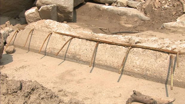
Decker stood in front of a section of the westbound side of I-70, you could see pieces of rebar sticking out as he pointed to the damage.
"You can see the eastbound lanes are totally taken out, and the westbound lanes have been broken off on the cantilevered side, and the pulpit wall has been taken out, so this is definitely going to be a challenge for us to reopen this section anytime soon," said Decker.
PHOTO GALLERY: Up-Close Look At Glenwood Canyon I-70 Mudslides Damage
About a mile east, near what's referred to as Devil's hole or Devil's Gulch, was what Decker said was the second-worst as far as damage goes.
The debris flow was so powerful, it diverted the flow of the Colorado River. Decker called it a 500-year event.
"It absolutely diverted it right against the retaining wall eastbound and over the bike path so... we'll see if maybe one day they can get it back to the main channel and away from the highway, but we'll see, it's definitely challenging and something to look at here."
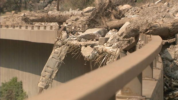
The Amtrak rails were spared, but the bridge? It's no longer as high off the ground as it once was.
"That bridge was probably 30 to 40 feet above ground and now it's just a few feet above ground," said Decker.
While CDOT works toward a temporary solution, long-term, motorists will have to be patient.
"I would say it would take several weeks, maybe even months to get this section back to where it was. Maybe something temporary wouldn't take as long but as you can see [there's] lots of damage. It's definitely going to take a while to repair it back to full."
Decker has been at the helm for most of the mudslides this year and hasn't run out of steam just yet. Although it hasn't been easy.
"Every time it rains, we're just battling it. It's like Groundhog Day just over and over, I mean we clean it and the next week we're cleaning it again," Decker continued, "We'll eventually get equipment back in here and get these big drainages like this box culvert, a 12-foot by 8-foot concrete box culvert, and we can get equipment through it and we'll just keep cleaning it and hopefully catch up with it one day."
At a news conference earlier this week, CDOT said it was too soon to tell what the cost of the damage would be but said it was easily in the tens of millions. More debris needs to be cleared before engineers know the true extent.
"Until we can get it all uncovered and really get the engineers to look at how much damage there is exactly, then we'll be able to tell more when we'll be able to get in it and get it fully reopened. it's going to be a long process but hopefully, we can do all we can to get it back to normal," said Decker.
In the meantime, CDOT advises using the northern route through Steamboat Springs. It only adds about 2 1/2 hours to what the drive would normally take and gets you directly into Glenwood Springs from Rifle. More information can be found on COtrip.org.