Colorado Weather: Landspout Tornadoes Hit Colorado Plains
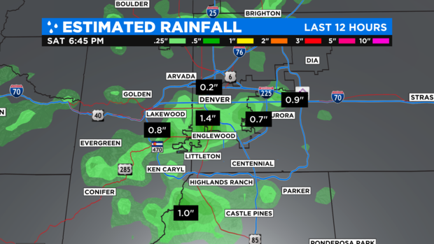
DENVER(CBS)- While Saturday afternoon's thunderstorms brought some good soaking rains to part of the Denver metro area , it was a different story farther out on the eastern plains.
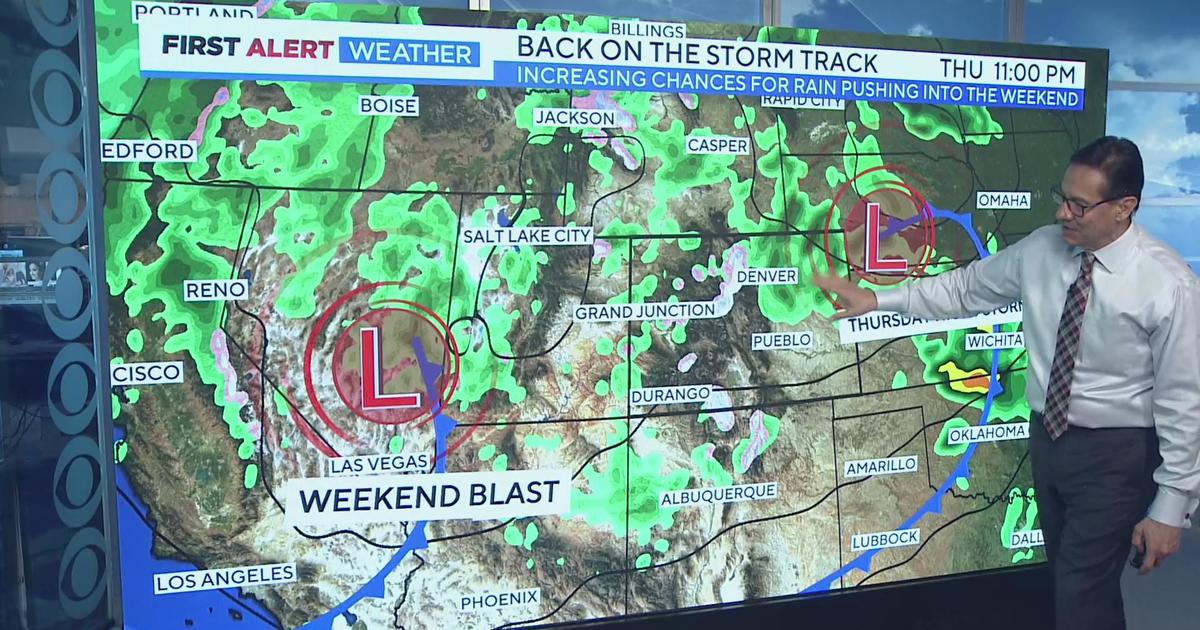
Severe storms developed as a weak storm system tracked across the state. This system provided enough lift for tornadic thunderstorms to develop.
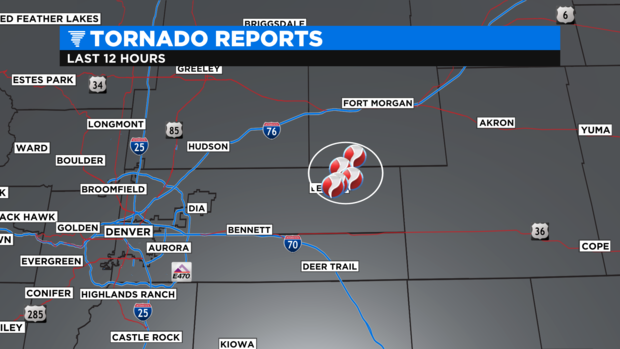
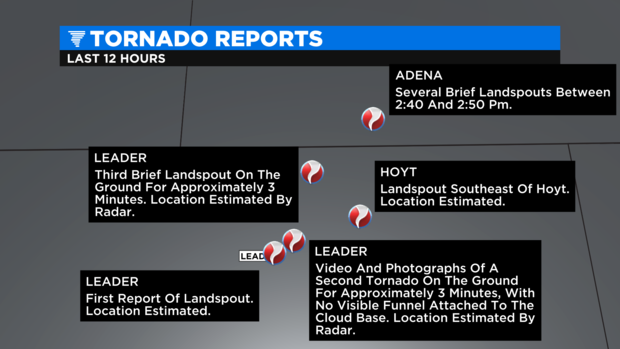
Several reports of "Landspout Tornadoes" were logged from Adams up into Morgan County. First developing from a strong storm near the town of Leader.
Landspout tornadoes develop in a different way than most super cell tornadoes. Typical tornadoes form with a super cell thunderstorm that has a rotating updraft forming a vortex and wall cloud. A landspout tornado can form in a towering Cumulus cloud that doesn't need the upper level rotation but, strong updrafts and downdrafts to produce the spinning column of air.
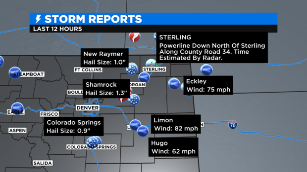
Saturday's storm also produced wind gusts from 70 to 82 mph! Hurricane force wind is 74 mph and higher! Powerlines were knocked down near Sterling and some of the storms also produced marble to half dollar size hail.