Colorado Weather: Up And Down Temps This Week, Snow Possible By Late Tuesday
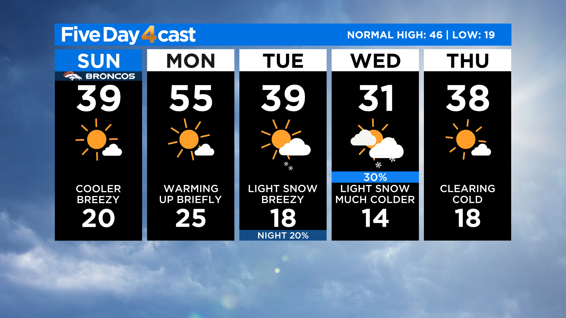
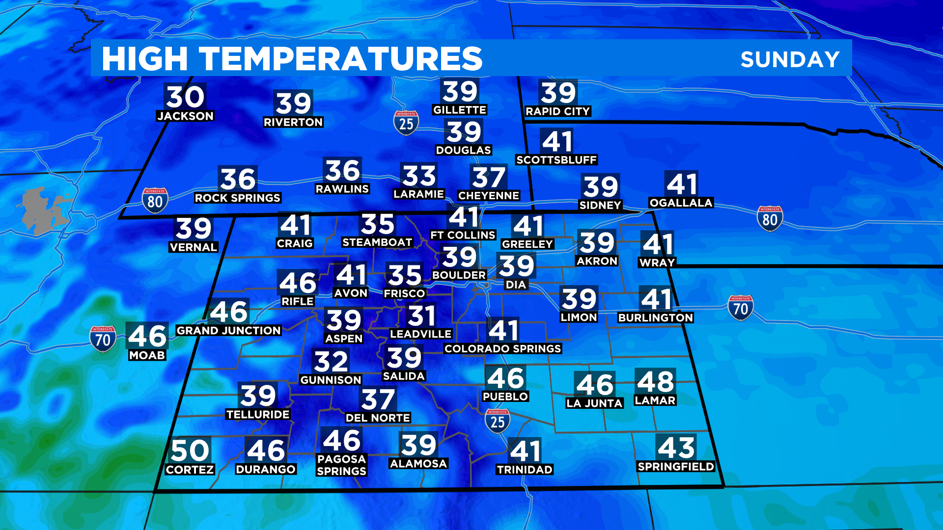
DENVER (CBS4) - Get ready for a wide variety of temperatures over the next few days as a busy jet stream pattern takes shape across the state. Today will be cooler than Saturday thanks to a dry cold front that moved in overnight. The cooler temps will be most obvious along and east of Interstate 25 where the wind could be a little gusty at times during the day.
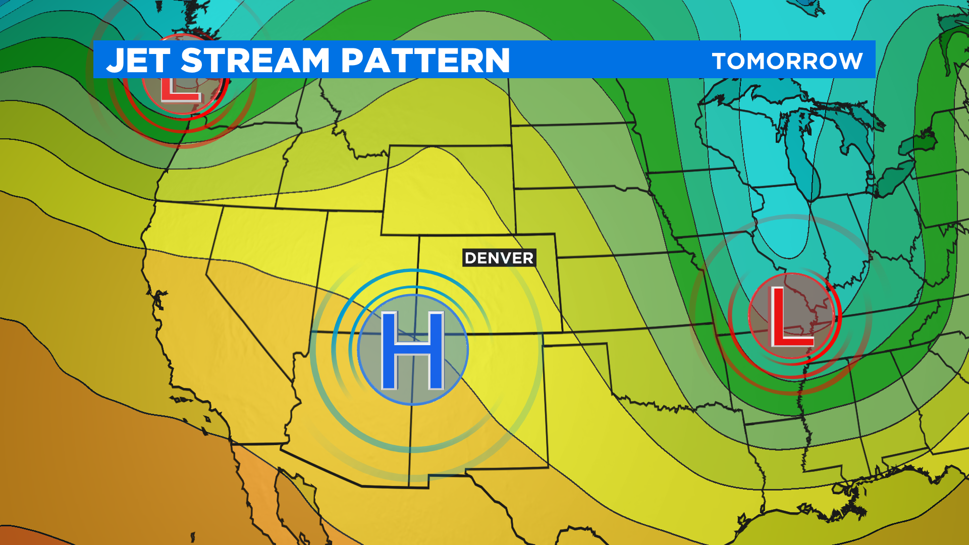
Warmer air will move into the state on Monday thanks to a ridge of higher pressure arriving from the west. In Denver we should be about 15 degrees warmer than today. The forecast will remain dry statewide.
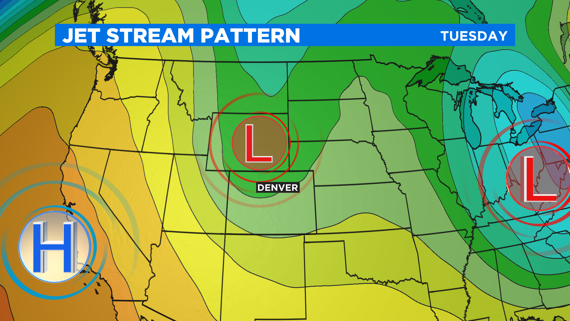
Then we take a sharp tumble by Tuesday as a trough of lower pressure drops into the state from the northwest. It will also bring a little bit of moisture with it so that means a chance for snow will return to the forecast.
We feel pretty confident the mountains could see a few inches of snow from this next system. The forecast is a little less confident for Denver and the I-25 urban corridor. Right now it does not look like much but that could change so be sure to check back for updates.