Colorado Weather: NOAA Outlook Indicates Cool, Wetter Pattern May Lie Ahead
DENVER (CBS4) - The week is starting off mild and dry across Colorado thanks to a southwest flow of wind in the upper atmosphere. Temperatures will run anywhere from 5 to 15 degrees above normal through Wednesday.
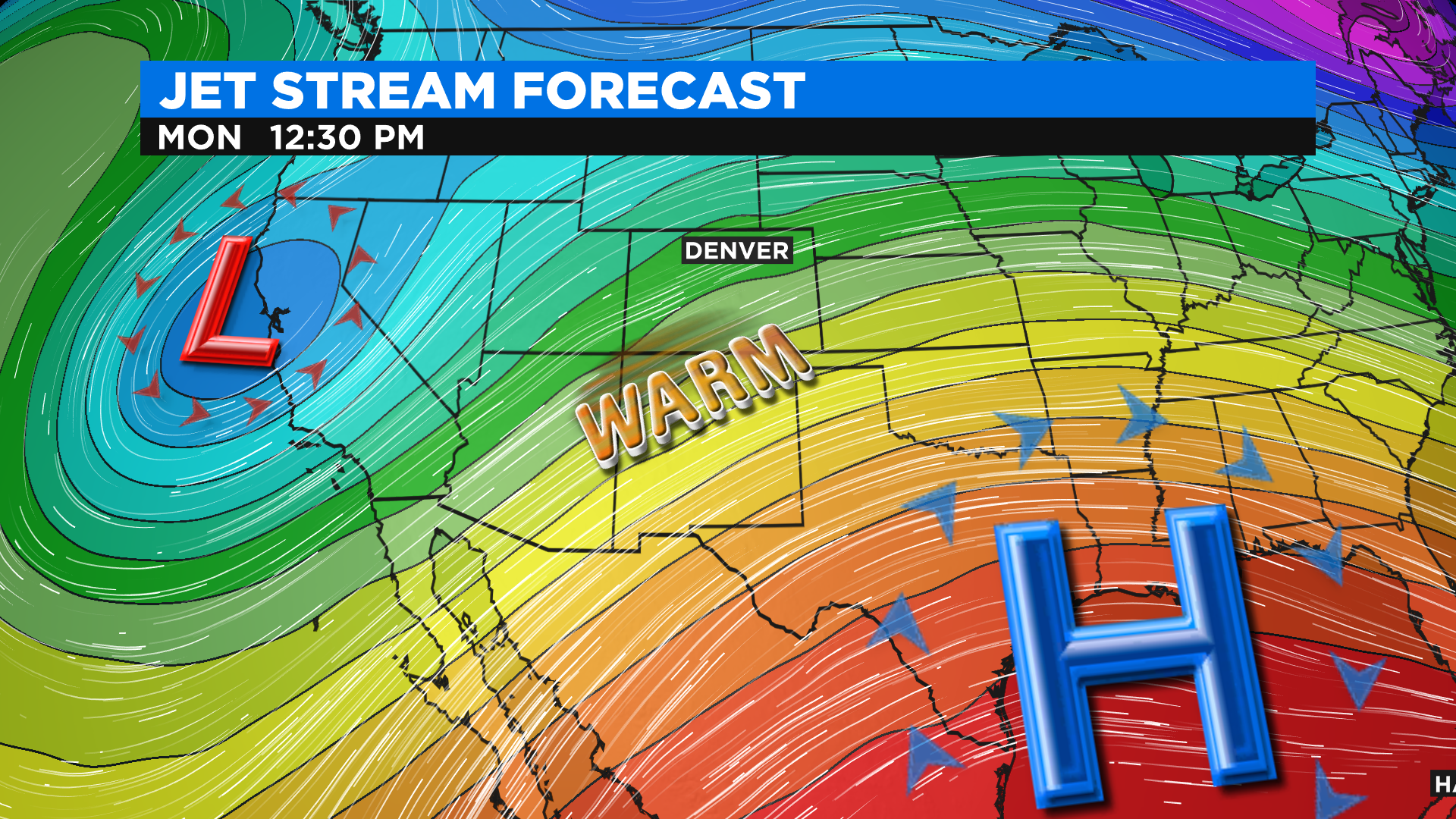
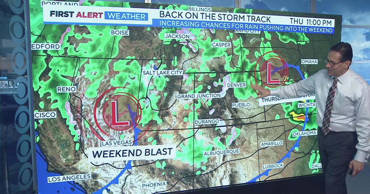
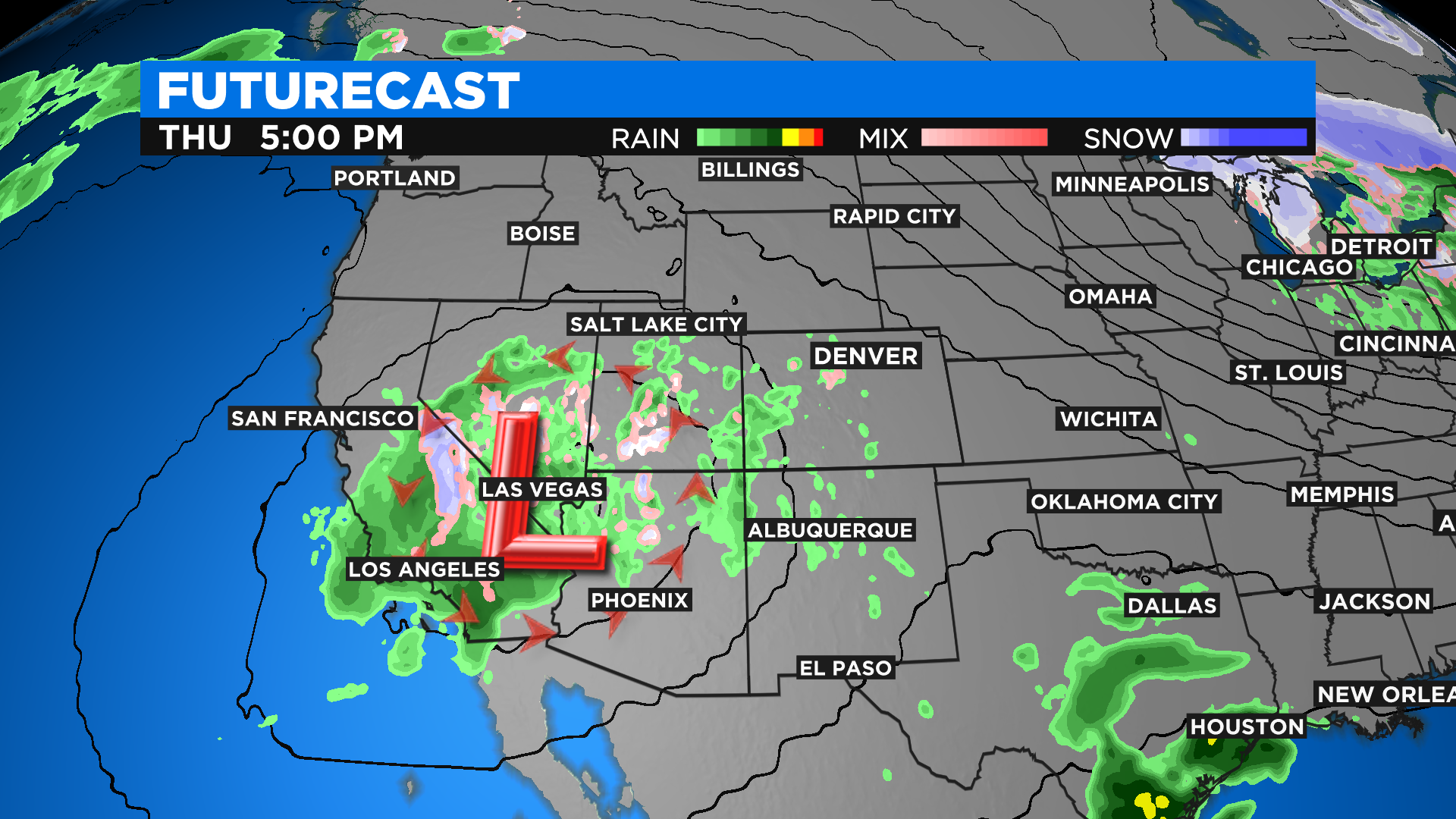
But medium and long-range computer forecast models point to a fairly abrupt weather change starting late Wednesday and Thursday as a large area of low pressure moves out of California. It will bring cooler temperatures along with a chance for lower elevation rain and mountain snow.
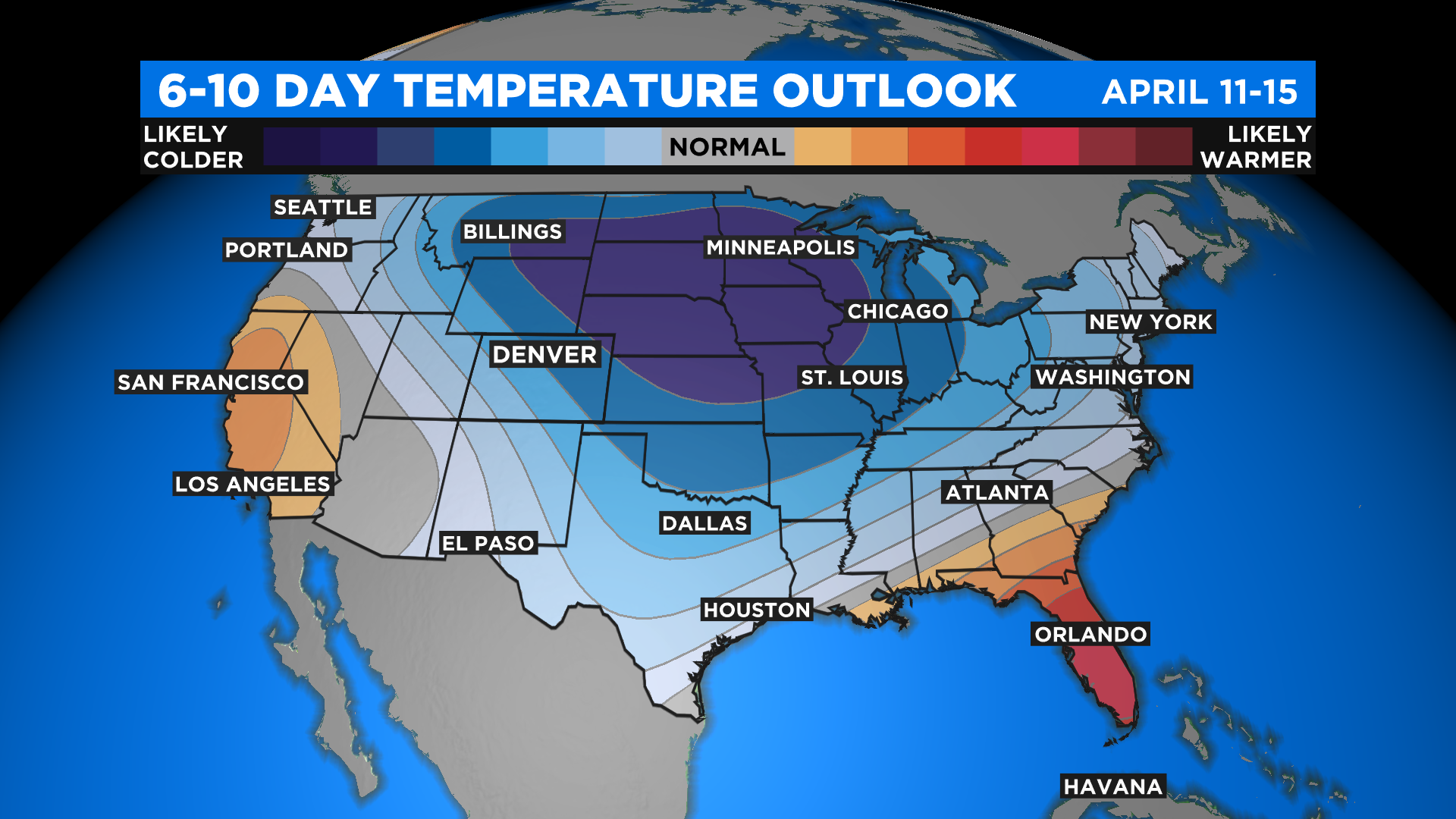
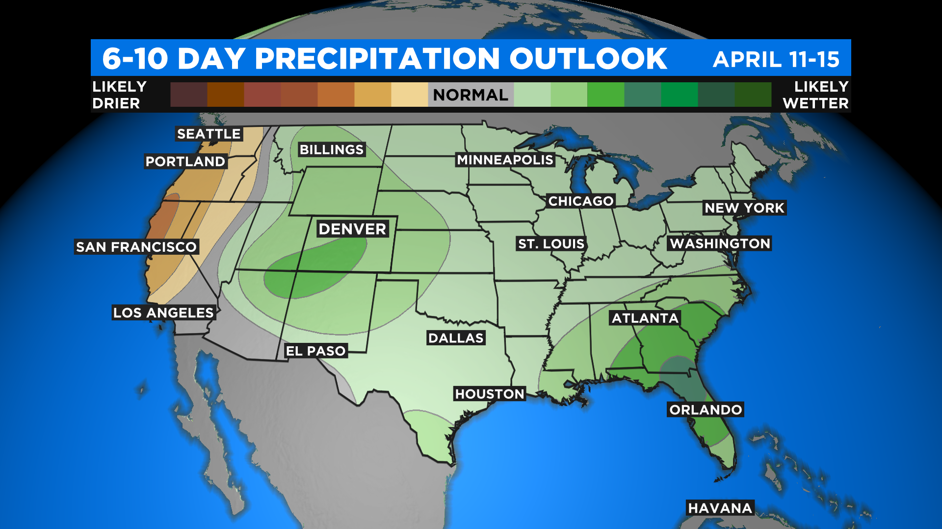
According to the latest 6 to 10 day outlook from NOAA's Climate Prediction Center our weather change on Thursday could be the beginning of several cooler days ahead. It could also potentially be wet with a few different chances for rain or snow.
The following maps show the outlook for April 11-15. Blue and purple colors on the temperature map indicate various chances to see below normal readings. Light blue mean a low chance while darker blues and purple indicate a greater chance.
It's the same idea on the precipitation map. Green indicate the potential to see wetter-than-normal conditions while yellow, tan and brown colors show the potential for drier weather. The darker the color the higher the chance will be.