CDOT Urges People To Leave Work Early Monday To Avoid Snowy, Icy Commute
DENVER (CBS4) -- The Colorado Department of Transportation is urging people to leave work early Monday to avoid a snow-packed and icy commute.
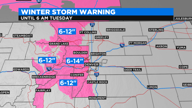
This is predicted to be the biggest storm to hit Denver and the Front Range since before Thanksgiving -- with snow expected to accumulate on roads by Monday afternoon.
Heavier snow will develop in the foothills of Jefferson, Boulder, and Larimer Counties Monday afternoon followed by the urban corridor Monday evening. Snowfall rates could reach 1-2 inches per hour.
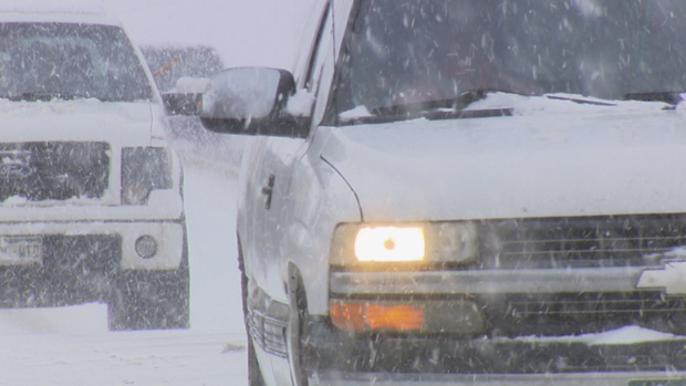
"This will create a very challenging situation for the evening commute with snow-packed roadways, limited visibility, gusty wind, and very cold temperatures," CBS4 meteorologist Ashton Altieri warned. "The Tuesday morning commute will also be slow and slick. Confidence remains high at least some schools and business will close for Tuesday.
CDOT also urged drivers to avoid the Interstate 25 South Gap Project.
RELATED: CDOT Had 100+ Plows On Roadways Starting Early Monday Morning
In terms of total snow accumulation, most areas along the Front Range will see 5-10 inches of snow through Tuesday morning.
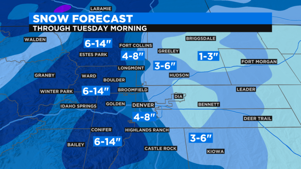
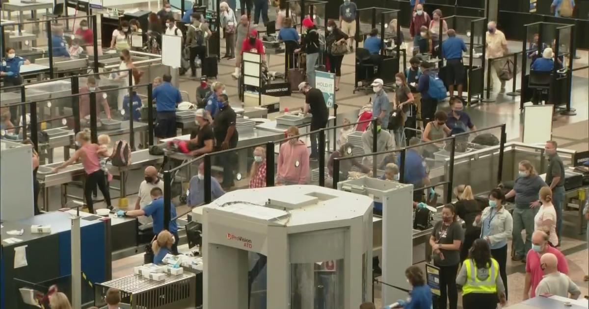
The heaviest snowfall (over 1 foot) will be near the base of the foothills including parts of Boulder, Golden, Lakewood, and Littleton. Generally speaking, snow totals will get smaller the farther east you go from the foothills. Downtown Denver we'll likely get 4-8 inches while the airport may stay under 6 inches. That said, there may still be significant delays and flight cancellations Monday evening at DIA.