Denver Weather: Last Day In The 80s Before Another Big Temperature Swing
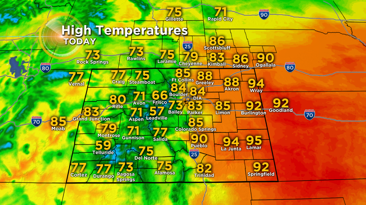
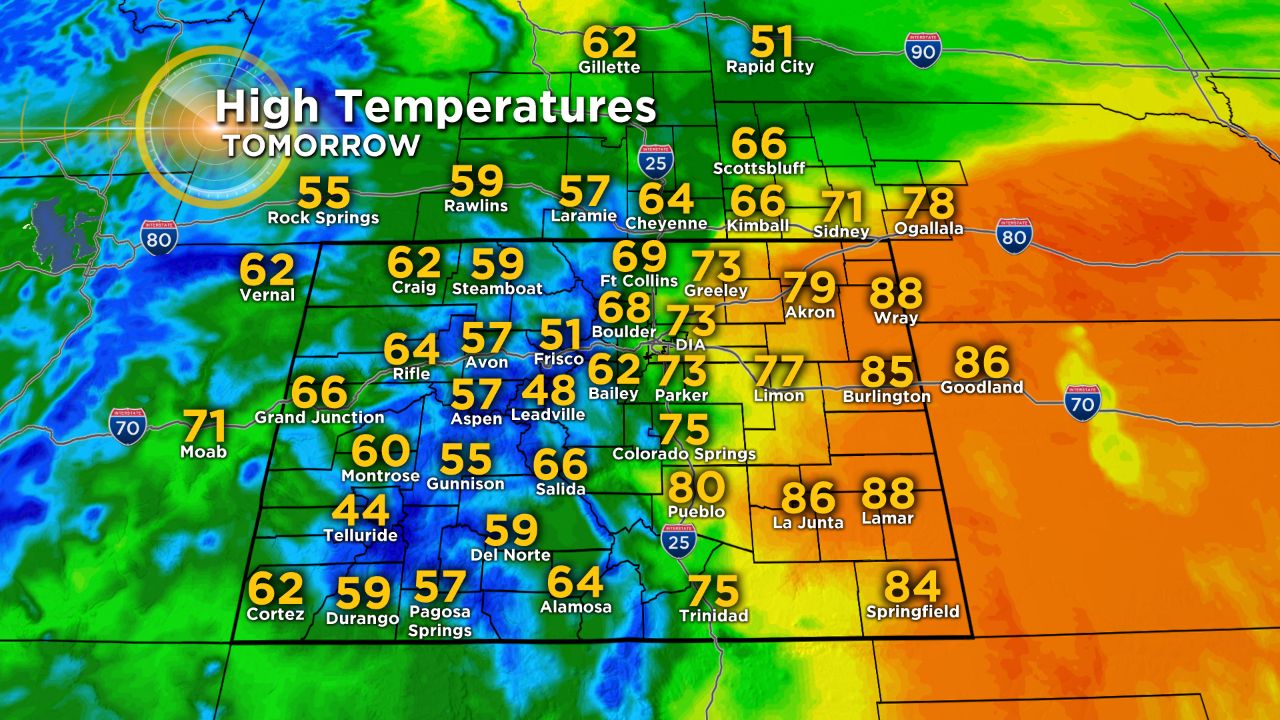
DENVER (CBS4) - Thursday will be the third day in a row with high temperatures in the 80s along the Front Range. With a high near 84 degrees in the Denver metro area, it will feel more like late June instead of the middle of May.
Locations on the Eastern Plains will be even hotter with many areas east of the urban corridor reaching into the 90s. It will be the hottest day so far this year in many locations.
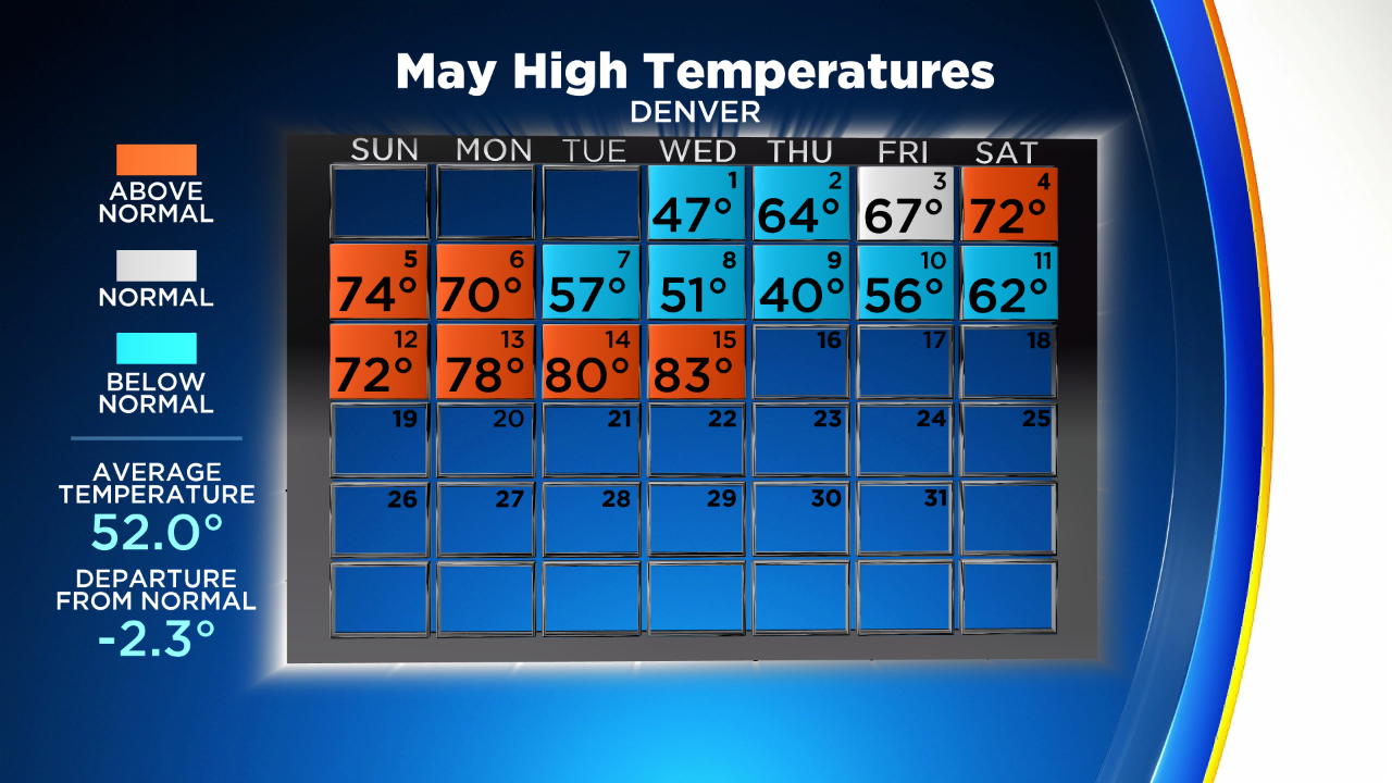
The weather this week is in sharp contrast to last week when temperatures struggled to reach out of the 30s and 40s in the metro area most day. And because of last week, May is still running more than 2 degrees below normal this month which is significant from a climate standpoint.
Looking ahead to Friday, cooler weather associated with storm system moving toward Colorado from California will arrive. A better chance for afternoon showers and thunderstorms will also develop on Friday including in the metro area.
A chance for additional showers and maybe isolated thunderstorms is also possible Saturday but the chance is lower in the metro area compared to Friday. Regardless, the mountains have the best chance for precipitation on Friday and Saturday including some snow above about 9,500 feet. Any accumulation should be limited to just an inch or two.
Drier weather will return to the Front Range on Sunday ahead of another storm that will quickly increase rain chances Monday night into Tuesday.