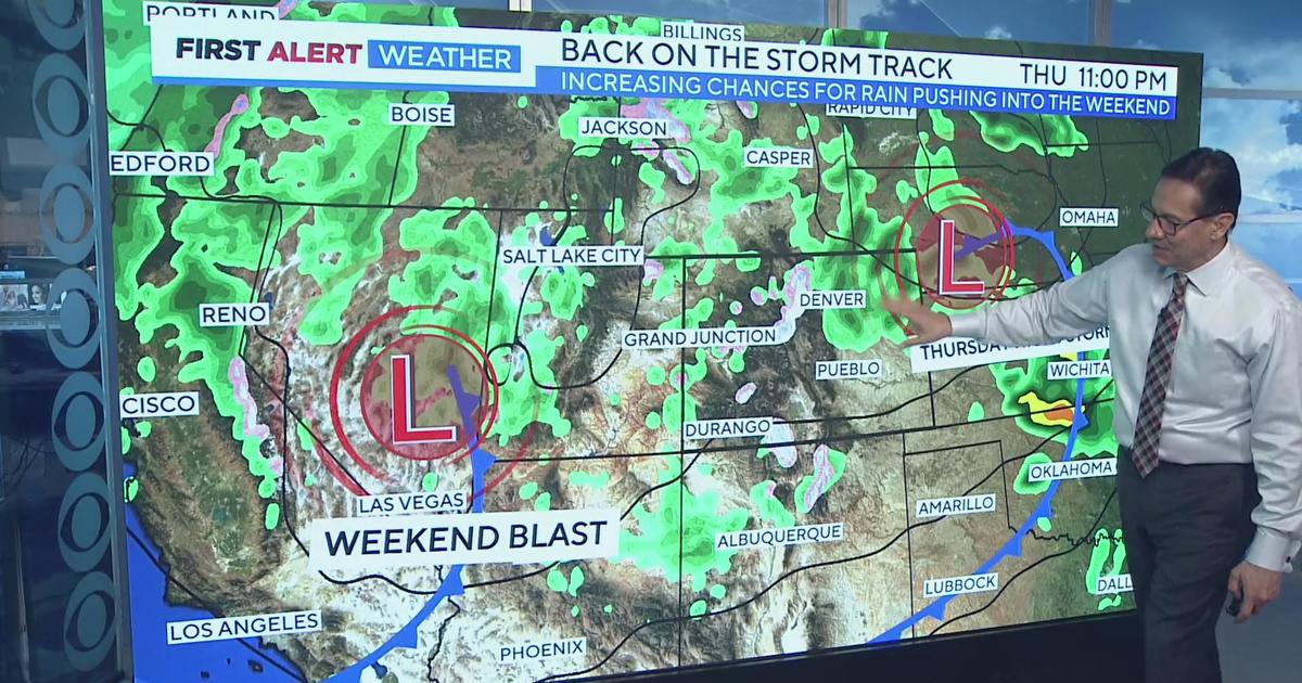
Denver Weather: More T-Storms Expected This Evening
DENVER (CBS4) - A large storm system will slowly move across Colorado and keep our weather unsettled over the next 48 hours. This weather maker will bring everything from snow in the mountains to a few severe thunderstorms on the eastern plains.
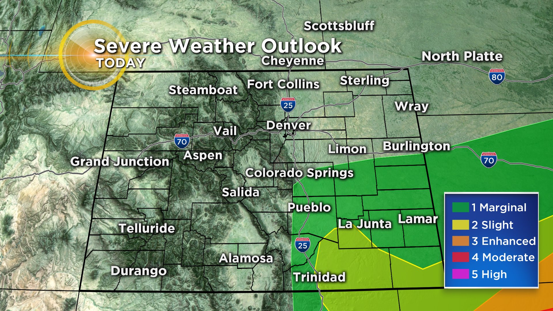
The forecast for this afternoon is rather complicated and will likely have two main areas for storms. One will be on the southeast plains and another centered somewhere in or near metro Denver.
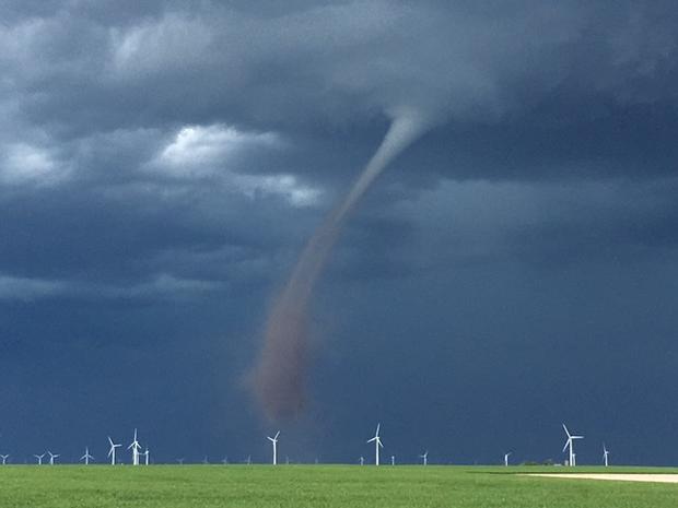
The wildcard with metro Denver is the low clouds and fog from this morning that is not lifting in all areas. This is limiting our daytime heating. But at the same time there is a strong convergence zone in the metro area that will help focus showers and storms. Some hail and even an isolated tornado will be possible, but the earlier round of storms did diminish those chances for metro Denver today.
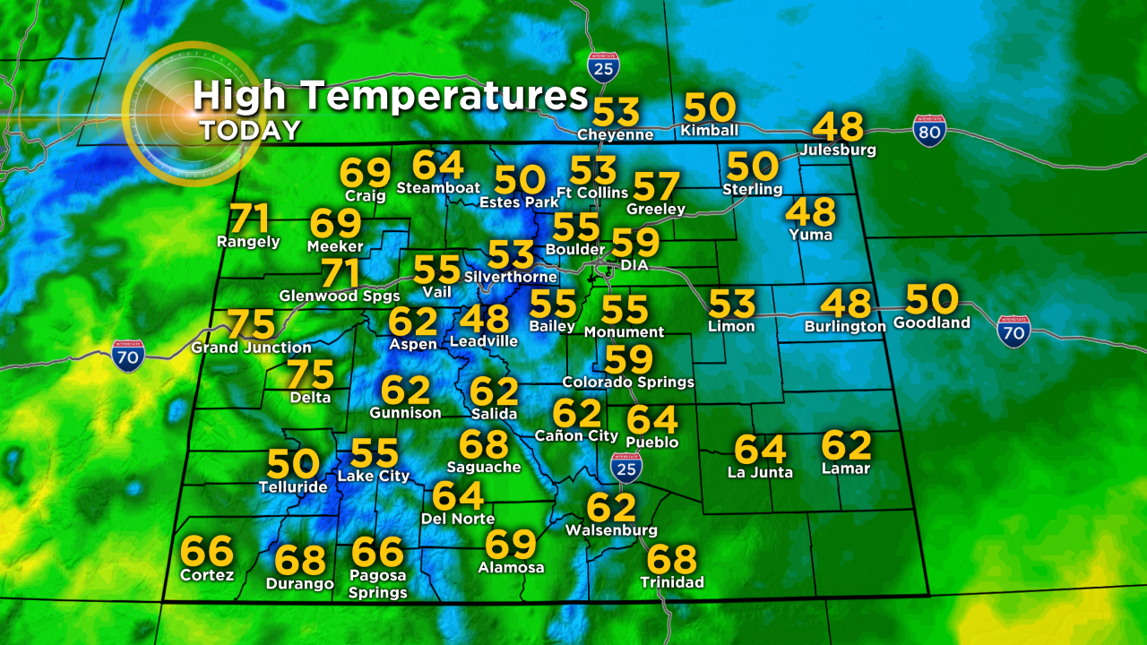
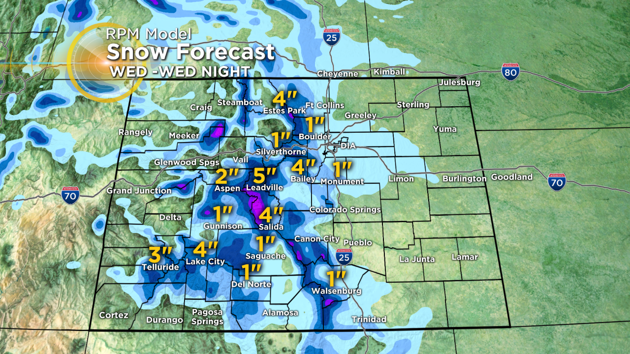
Looking ahead to Wednesday temperatures will drop another 10 degrees meaning highs in the 40s along the Front Range. Overnight low temperatures Wednesday night will fall to near freezing in the metro area. The freezing weather will cause at least a rain/snow mix and perhaps a complete changeover to snow as low as 5,000 feet. Any accumulation in the metro area should be minor and mostly limited to the grass. Some areas above 6,000 feet on the Palmer Divide and in the foothills west of Denver could see up to 1 inch on some roads. Mountain towns could see up to 6 inches which higher amounts above 10,000 feet.
Looking ahead to Friday, drier weather will finally return followed by a warming trend for Mother's Day weekend.

RELATED: Denver Metro Area Flirts With Freezing, When Are We Done?