Flash Flood Watch
DENVER (CBS4) - Wow!
What a dramatic shift in our weather for the last weekend of July! After a cloudy and even rainy start to our Saturday high temperatures are going to be around 10 to 15 degrees cooler for the day.
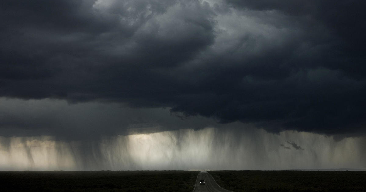
The reason for the shift is the combination of monsoon moisture and a weak cold front. There is a good chance for heavy showers and thunderstorms for the afternoon and evening over the mountains and the eastern plains.
There is a Flash Flood Watch along and south of the Palmer Divide across the plains and into southern Colorado. Some areas in the watch may see storms drop up to 2 inches of rain an hour. The storms will be very slow movers only about 10 to 15 miles an hour. The most susceptible areas for flooding are old burn scar areas and low-lying urban spots.
Denver and most of northern Colorado are not in the Flash Flood Watch. However, storms are still expected in these areas and may contain heavy rain.
In addition to the flooding threat for some. There is also a threat of severe weather over eastern parts of the state. From Byers and Deer Trail east over the state plains. So in addition to heavy rain, up to 1 inch diameter hail and 60 mph winds are also possible the farther east you travel.
Sunday will also, be a day with strong afternoon storms although there will be fewer storms.


Meteorologist Dave Aguilera is a Colorado native and has been forecasting weather in the Rocky Mountain region for over 25 years! Connect with Dave on Facebook and on Twitter @DaveAgCBS.


