Mudslides In High Park Burn Area, Flood Worries In Waldo Canyon Burn Area
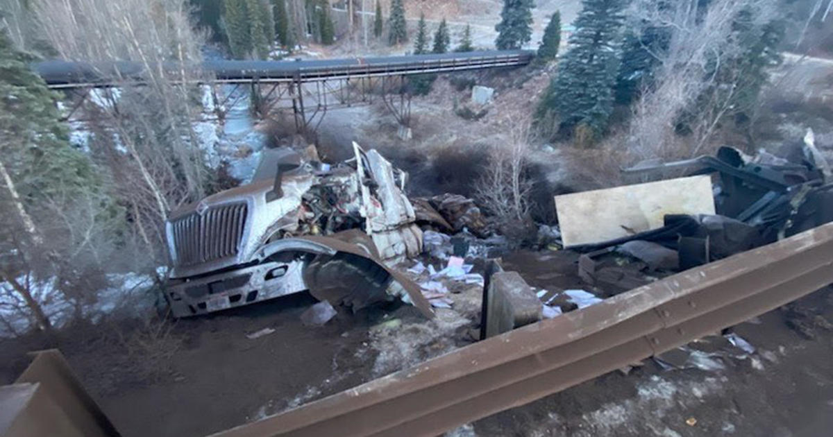
COLORADO SPRINGS, Colo. (CBS4/AP) - Colorado Highway 14 had to be closed at mile marker 104 following mudslides in the High Park wildfire burn area, which had been hit with rain.
County Road 27, also called Stove Prairie Road in what's called "The Narrows," was also closed due to mudslides. That's a major road that leads to Highway 14.
The National Weather Service had issued a flash flood warning for the western part of the burn area through 4:45 p.m. Monday after a stream jumped its banks and left black soot and debris on Stove Prairie Road and spilled over to Highway 14.
Further south, an area burned by the Waldo Canyon Fire near Colorado Springs received rain, but no flooding was immediately reported. Up to 1 ½ inches of rain fell in less than an hour on the northern side of the burn area near Rampart Reservoir.
National Weather Service meteorologist Eric Petersen says more rain is possible.
Charred hillsides are vulnerable to erosion and flooding during downpours because they have less vegetation to soak up rain, and burned soils can repel water.
Wildfire Resources
- Visit CBSDenver.com's Wildfire Resources section.
- Read recent Wildfire stories.
Wildfire Photo Galleries
- See images from the most destructive wildfires (Waldo Canyon, High Park and Fourmile) and largest wildfire (Hayman) in Colorado history.
(TM and © Copyright 2012 CBS Radio Inc. and its relevant subsidiaries. CBS RADIO and EYE Logo TM and Copyright 2012 CBS Broadcasting Inc. Used under license. All Rights Reserved. This material may not be published, broadcast, rewritten, or redistributed. The Associated Press contributed to this report.)