Our Winter Season May Again Be Affected By La Nina

DENVER (CBS4) - It looks like La Niña may be back in the picture for the winter season.
La Nina is the cooling of the ocean water off the west coast of South America. It is connected to what is called the "ENSO (El Niño/Southern Oscillation)" and is opposite of the El Nino which is the warming of the ocean water off the coast of South America.
The ENSO has a dramatic effect on which direction our winter time storm tracks will go. Forecasters at The National Oceanic and Atmospheric Association (NOAA) Climate Prediction Center have pinpointed a surge of cooler temperatures in the tropical Eastern Pacific. This is one indicator La Niña is coming back and although it's to early to determine the strength of the event, even a moderate La Niña will have an effect on weather in the Rocky Mountains.
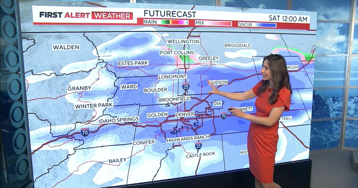
If that's the case, we could have another winter like the last, where the northern and northwestern mountains get lots of snow with above average levels. While, Denver and the Front Range stay average to below average for the winter duration. Typically, in a strong to moderate La Nina episode, the Denver metro area would have heavier snow storms from the end of November through Early January. And heavy wet snows from March into early April.
The Central mountains would wind up with snowfalls at or below average, while the southern mountains and the southeastern plains stay very dry. Snowfall in those spots typically, wind up being below to much below normal in a La Nina winter.
Overall however, Colorado as a whole during a moderate to strong La Niña tends to be at or a little below normal on snowfall.


