Travel Alert: Next Winter Storm To Bring Big Change Starting Monday
DENVER (CBS4) - A new winter storm will bring a significant weather change to the state during the day on Monday, especially in terms of the temperature for places like Denver and the eastern plains. Mid and high altitude clouds are already on the increase out ahead of the system.
Highs along and east of the Front Range Foothills will drop from the upper 50s to the low 30s this week and there is a chance for rain showers that will change to snow Monday night. Some of the snow will linger into Tuesday on the plains. In addition to the rain and snow we also anticipate very strong and gusty winds to develop.
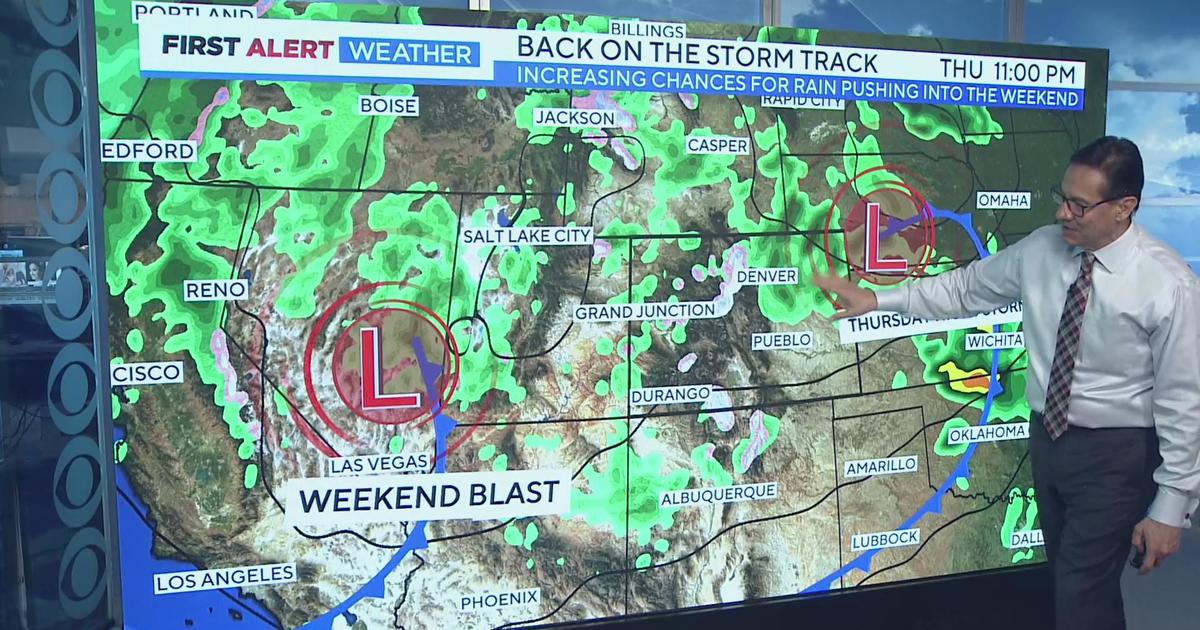
It's just a bit too early to nail down snow totals for eastern Colorado but some models give Denver a quick 1-3" while others go as high as 6" in spots. As of Sunday morning the storm was still a few hundred miles off the west coast of the United States. The forecast will become more clear once it makes landfall this evening.
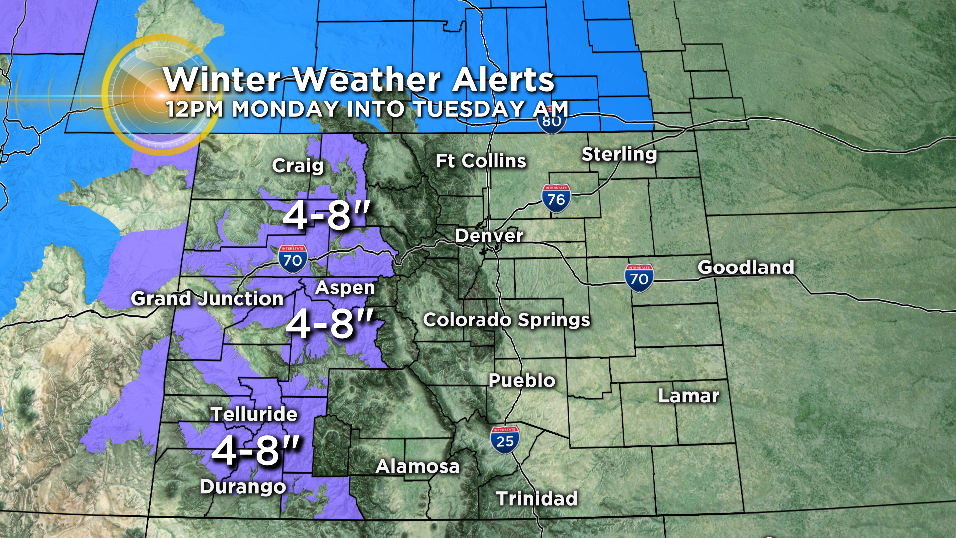
The forecast is a little more certain for the mountains of Colorado where many areas have already been placed under a Winter Weather Advisory starting at noon on Monday and lasting into Tuesday morning. On average we should see anywhere from 4-8" of new snow in the high country with isolated higher pockets.
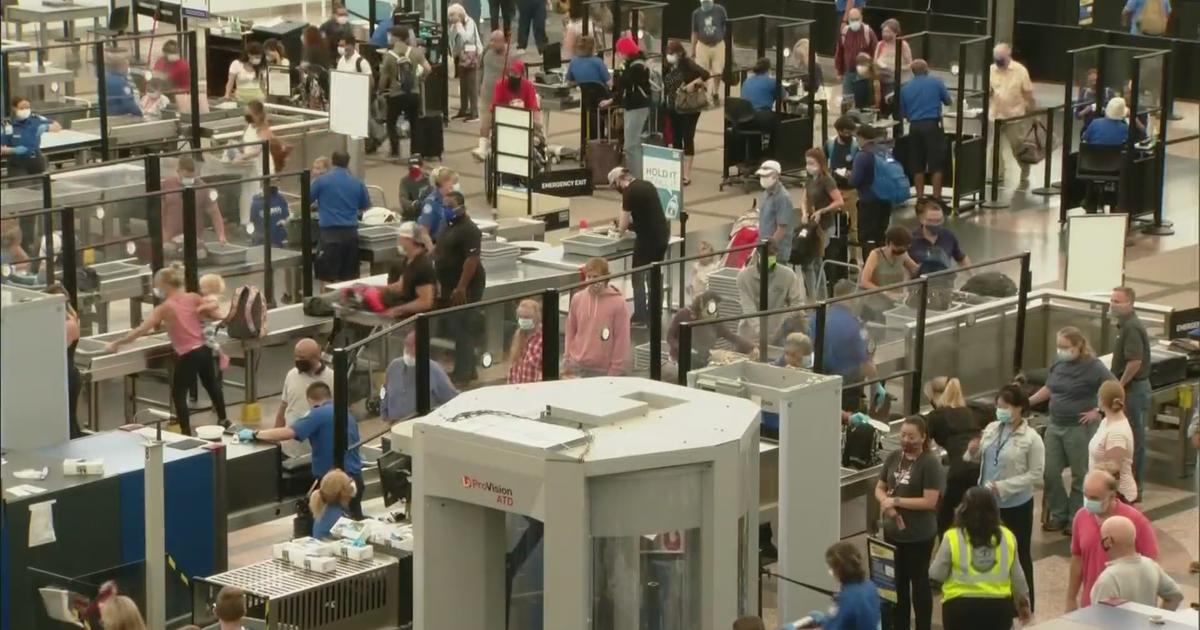
Holiday traffic returning to Denver may experience some difficult weather at times, especially by Monday evening, along heavily traveled routes such as Highways 40 and 285 as well as Interstate 70.