Brief Cool Down On The Way
DENVER (CBS4) - More warm temperatures in Denver and the Front Range today. We once again hit the upper 50s, while parts of southeastern Colorado managed to climb into the low 70s! It's hard to the believe the end of February is here, and March is only a few days away!
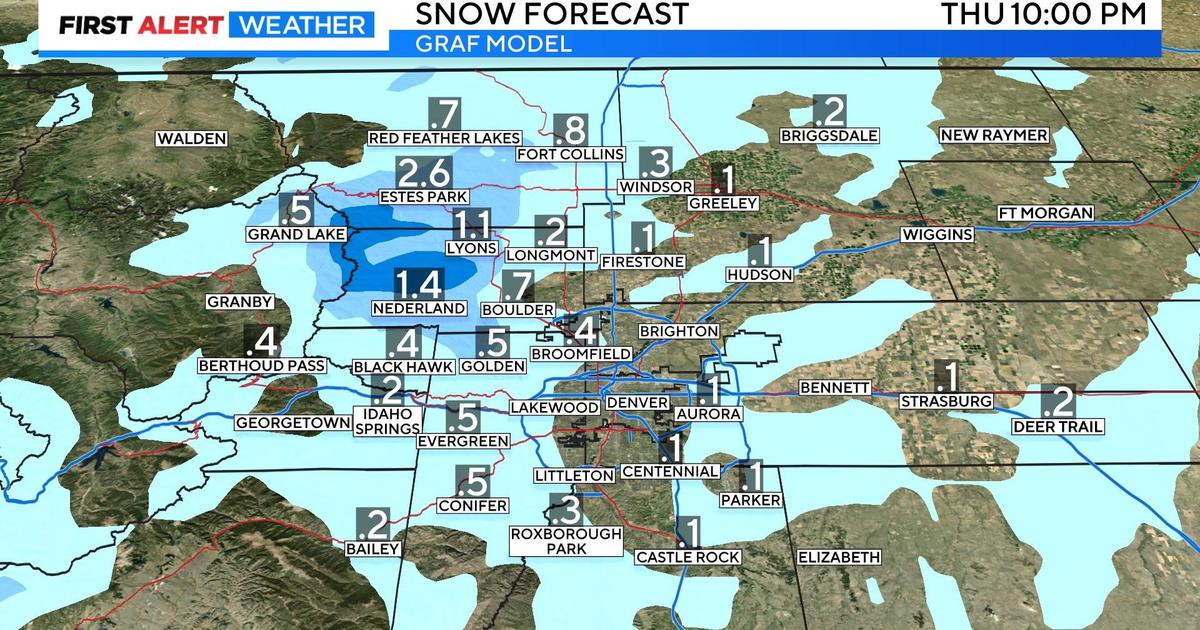
A storm in southern California will track east across Arizona and into New Mexico Tuesday night into Wednesday. As it does, it should spread enough moisture north into Colorado to cause light snow across the mountains. Accumulation will be minor with 1-4 inches at most ski areas by noon Wednesday. Denver and the Front Range will experience a surge in clouds and cooler temperatures but very little if any precipitation. It's possible a few flurries could reach the metro area Wednesday afternoon but shouldn't see any accumulation.
We quickly return to sunny and warm weather as the storm moves from New Mexico and into Texas and Oklahoma on Thursday. Westerly downsloping winds on Friday should push temperatures into the mid 60s - it will be our warmest day in nearly two weeks! Last week we spent the entire time well below average.
Saturday looks warm and sunny, but a strong cold front could roll in on Sunday, bringing the chance for some good snow to Denver as well as the mountains!

Watch meteorologist Lauren Whitney on CBS4 News on weekday evenings at 5, 6, 6:30 and 10 p.m. Check out her bio, connect with her on Facebook or follow her on Twitter @LaurenCBS4.
