Big Temp Swings & Snow Chance Over Next 36 Hours
By Chris Spears
DENVER (CBS4) - Conditions will vary widely over the next 36 hours, depending on where you live.
For the Denver metro through Fort Collins and the eastern plains, we sit on the western edge of a bitter cold air mass that will slosh back and forth between now and Monday. That will mean wild swings in our temperatures. When the cold air moves in we could see anything from drizzle and fog to light snow.
That happened this morning and should happen again sometime Monday afternoon. In between we'll see a brief warm up overnight Sunday.
Meanwhile in the northern and central mountains the story is wind and occasional light snow due to a powerful jet stream cutting a path across the northern Rockies.
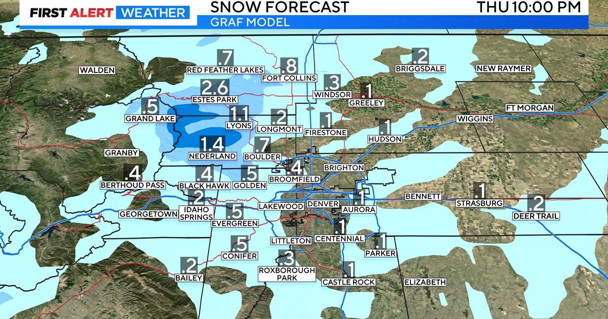
Additional snow today will be in the 2-5" range along and south of Interstate 70 with 4-8" common closer to the Wyoming state line. Isolated higher pockets can be expected.
But the wind will really be the main story and will combine with the snow to create tough travel at times.


Meteorologist Chris Spears travels weekly in the CBS4 Mobile Weather Lab reporting about Colorado's weather and climate. Check out his bio, connect with him on Facebook or follow him on Twitter @ChrisCBS4.


