Cooling Off With Chance For Snow
DENVER (CBS4) -
A few mountain wave clouds didn't prevent the Denver area and parts of the foothills from getting into the low 60s on Tuesday. The foothills had very gusty winds, and they'll stay that way again on Wednesday. Winds topped around 85 mph on Berthoud Pass on Tuesday!
Into Wednesday, we will have the chance for clouds for the Super Blue Blood Moon.
RELATED: Super Blue Blood Moon' Watch Party Planned In Stapleton
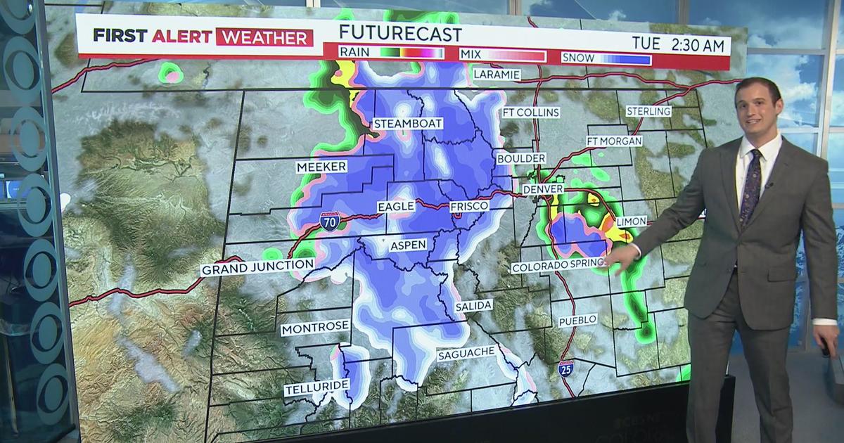
A cold front will work it's way through Colorado on Wednesday, which will lead to cooler temperatures. We'll drop to the upper 40s and low 50s for the Front Range and plains. So not a major cool down, we'll drop even more on Thursday behind the front.
We could see a little freezing drizzle in Denver on Wednesday night, which could turn to light snow on Thursday morning. If we get that freezing drizzle, we could have some icy conditions on Thursday morning. We don't expect to see much snow here in Denver, less than an inch.
Most of the snow will stay in the northern mountains, but even then it's not a massive storm. Our northern mountains may see 2 to 6 inches of fresh snow. Our eastern plains may see a few inches of snow as well, where a few heavier snow bands potentially could set up.
After that, we are heading for drier and mild weather on Friday and Saturday before another round of snow possible on Sunday.


Watch meteorologist Lauren Whitney on CBS4 News on weekday evenings at 5, 6, 6:30 p.m. Check out her bio, connect with her on Facebook or follow her on Twitter @LaurenCBS4.