Some Cold & Snow Ahead, But Then A Blocking High
By Chris Spears
DENVER (CBS4) - Relatively big weather changes will start to unfold next week after a long stretch of dry and mild weather across Colorado.
It will finally start to feel like early December with more seasonal temperatures and a chance for some moisture.
Mountain snow should begin sometime on Sunday and last into Monday with several inches possible along with gusty wind. There's even a chance for a quick shot of snow in Denver and on the eastern plains as the storm passes by.
But for those hoping that this storm system will be the start to a snowy pattern for Colorado's high country, I have some bad news.
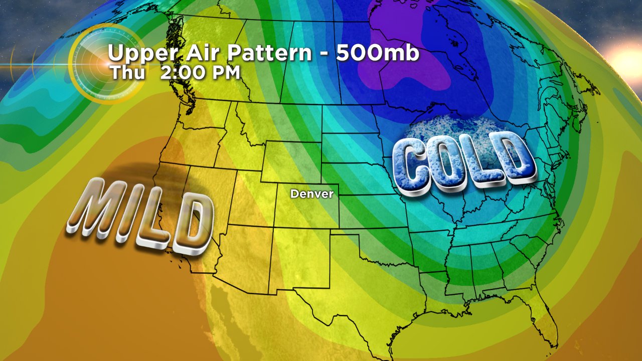
A ridge of high pressure is expected to set up along the West Coast of the United States early next week. If that happens it will block any significant storms from moving toward the Central Rockies, sending them up into Canada and eventually back down the eastern side of the Rockies.
This is a pattern that is very common during a La Niña winter.
It's not all bad news. This pattern means a northerly flow for Colorado so we shouldn't be as warm as we've been in recent days, and sometimes northerly flow can keep snow showers going from time to time in the mountains.
For the sake of winter recreation let's hope the blocking ridge doesn't last too long if it forms like computer models show.
Meteorologist Chris Spears travels weekly in the CBS4 Mobile Weather Lab reporting about Colorado's weather and climate. Check out his bio, connect with him on Facebook or follow him on Twitter @ChrisCBS4.