Cold Front Will Change Up Sunday
DENVER (CBS4) - A super active start to the weekend. Saturday began with dense fog out over the eastern plains and fast falling, heavy snow in the mountains. So much that I-70 had to close briefly on Saturday morning.
Strong winds helped to warm Denver up to 72 degrees on Saturday afternoon. Denver's peak gust was 47 mph. In and around Colorado Springs gust shot up anywhere from 65 mph to 71 mph during the day! Pretty impressive when you consider hurricane force winds are 74 mph and above!
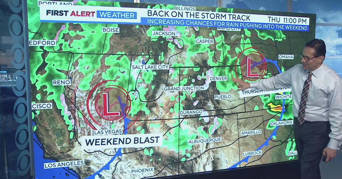
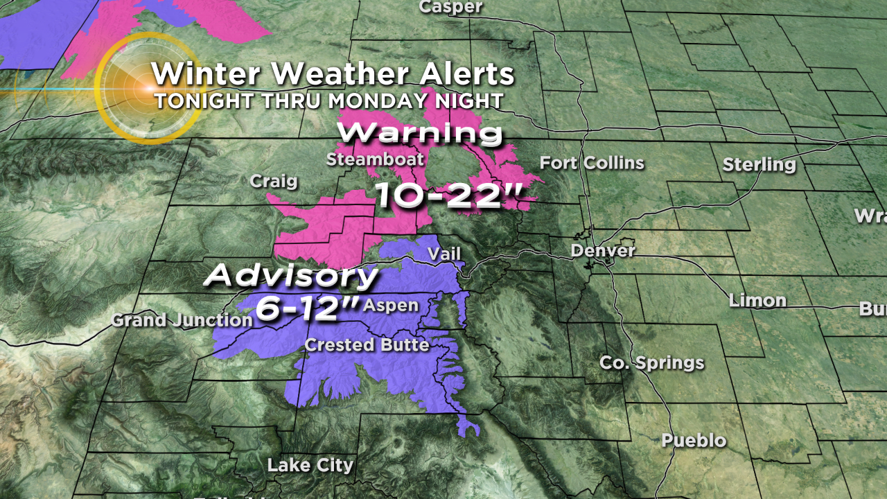
The southwest flow will weaken as a cold front swoops into Colorado overnight. This front will energize snowfall in the mountains into Sunday and behind the front winds over the front range will weaken. There are Winter Storm Warnings and Winter Weather Advisories for snow in the mountains.
Temperatures will be cooler for Sunday with the passage of the front with mostly 50s and 60s over the eastern plains and western slope. Mountain temps will be in the 40s and 50s.
In the week ahead the forecast models are showing another cold wave pushing in on Tuesday with a chance for snow in the Denver metro area for the Tuesday morning commute.


Meteorologist Dave Aguilera is a Colorado native and has been forecasting weather in the Rocky Mountain region for over 25 years! Connect with Dave on Facebook and on Twitter @DaveAgCBS.