Not Much Precipitation, But Definitely Colder!
DENVER (CBS4) - After reaching 73° on Sunday, Denver will struggle to climb above freezing on Monday. It's another huge temperature drop coming off the 70° drop we experienced late last week.
A combination of flurries, light snow, freezing drizzle, and cold rain will fall along the Front Range Monday morning but impacts will generally be limited to icy spots on bridges and overpasses. Any snow accumulation in the Denver area will be less than 1" The foothills could see up to 3".
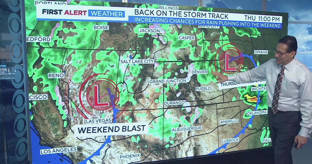
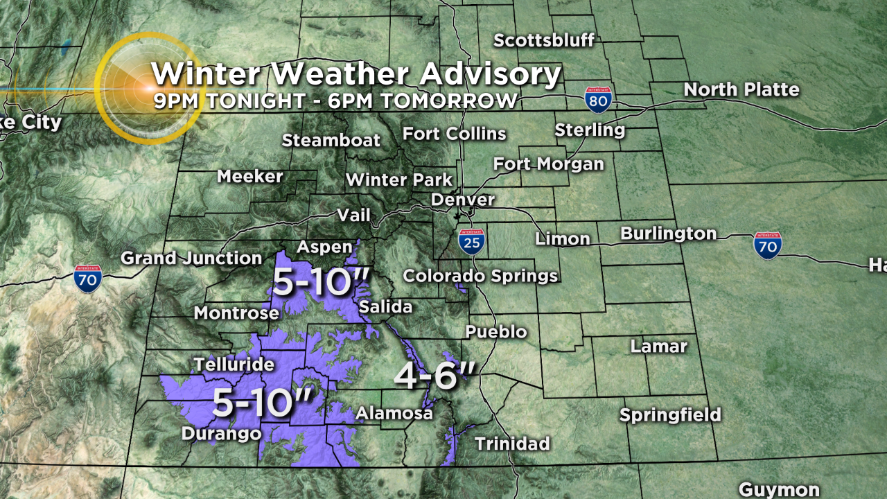
Monday afternoon will be cloudy and cold but also mainly dry until another fast moving system moves approaches Colorado Monday evening. This next system will come from the south and therefore it's the mountains in Southern Colorado that will experience the bulk of the snow including the San Juans and the Sangre de Cristo's where accumulation could top 10".
For Denver and the Front Range, we may see a few flurries or light snow showers Monday night into Tuesday morning.
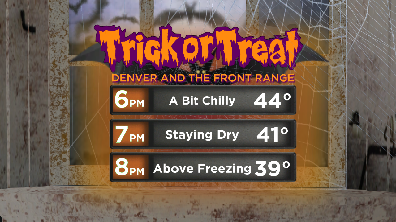
Sunshine should return Tuesday afternoon allowing temperatures to reach to around 50 degrees in the metro area. Trick-or-treat temperatures will start in the 40s and then fall into the upper 30s by the time older kids head out.
A new weather pattern will develop Wednesday and should stay in the place through the weekend with mostly sunny skies each day. The nights will be cool but the days will be relatively warm for early November with highs in the 60s and lower 70s.


Ashton Altieri is a Certified Broadcast Meteorologist. Watch him on the CBS4 Morning News weekdays from 4:30 a.m. to 7 a.m. Connect with Ashton on Facebook and on Twitter @AshtonCBS4.