Better Mapping Puts Beaver Creek Fire At 5,368 Acres
WALDEN, Colo. (CBS4)- The Beaver Creek Fire burning near the Colorado-Wyoming state line has been downgraded from 7,000 acres to 5,368 acres due to better mapping.
Winds continued to push the fire to the east on Wednesday. There was no additional growth to the fire overnight into Wednesday.
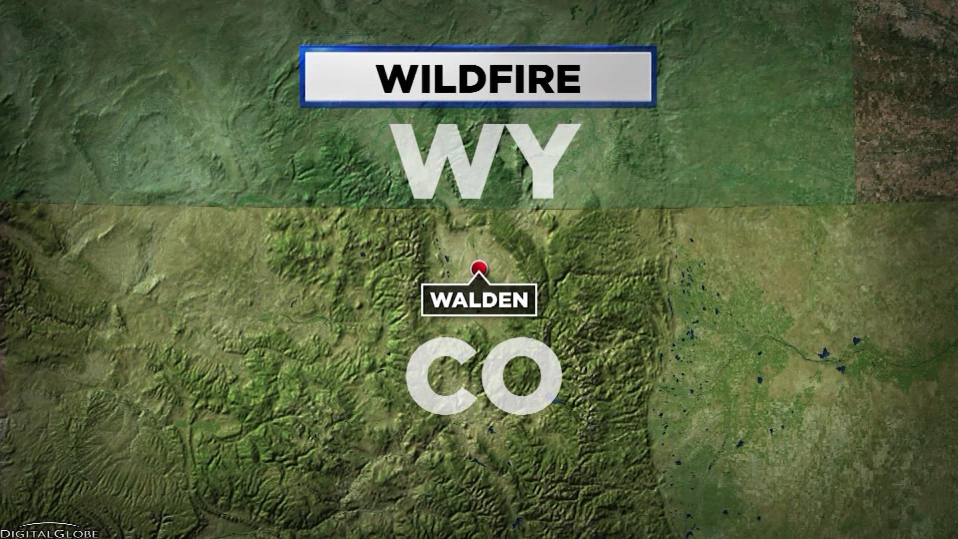
The Beaver Creek Fire has been burning two miles south of the Colorado-Wyoming state line since about noon on Sunday. The fire is now established on Independence Mountain in Routt National Forest, BLM and some private lands.
PHOTO GALLERY: Beaver Creek Fire
The cause of the fire remains under investigation. The evacuations remain in place and about 40 residences and/or cabins are threatened.
There are 120 fire personnel fighting the fire with more resources arriving in the coming days. There has been one minor injury to a firefighter. Crews continue to perform firefighting operations at night.
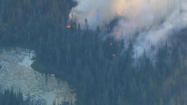
The fire is burning in heavy timber with beetle kill, some grass and sage brush.
Wildfire Resources
- Visit CBSDenver.com's Living With Wildfire section.
Wildfire Photo Galleries
- See images from the most destructive wildfires (Black Forest, Waldo Canyon, High Park and Fourmile) and largest wildfire (Hayman) in Colorado history.