Fire Danger And Nearing Record Temps
DENVER (CBS4) - Into the 90s again across much of the Denver metro area! Thursday's haze is courtesy of the wildfires burning near Ft. Carson, and in Arizona and New Mexico.
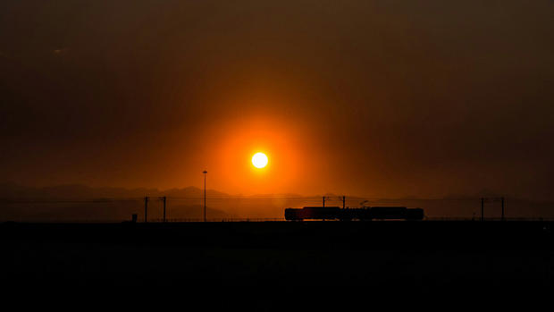
The upper level winds have carried some of that smoke into our state, so poor air quality will be with us for the next few days.
The Museum of Nature and Science recorded a temperature of 94 degrees Thursday. We'll cool down slightly on Friday with a weak cold front passing through the area. Expect highs in the upper 80s with a few more clouds in the afternoon.
Another Red Flag Warning has been posted for the western slope until 8 p.m. Thursday. Low relative humidity, gusty winds, and dry vegetation means fire danger remains high.
The break from this heat wave is short lived, though. More hot desert air takes over this weekend with temps in the 90s Saturday and Sunday. We could make it up to 97 in Denver by Father's Day — only one degree short of the record for June 19.
Monday is the first official day of summer, and we'll cool down to the middle 80s with more sunshine. The 90s are back Tuesday with more sunshine expected.

Justin McHeffey provides nightly reports from the Mobile Weather Lab. He travels Colorado in search of Mother Nature's most powerful and beautiful conditions. Like his Facebook page Meteorologist Justin McHeffey and follow him on Twitter @WeatherMcHeffey.