Snow Moves Out But Coldest Air Arrives Wednesday Morning
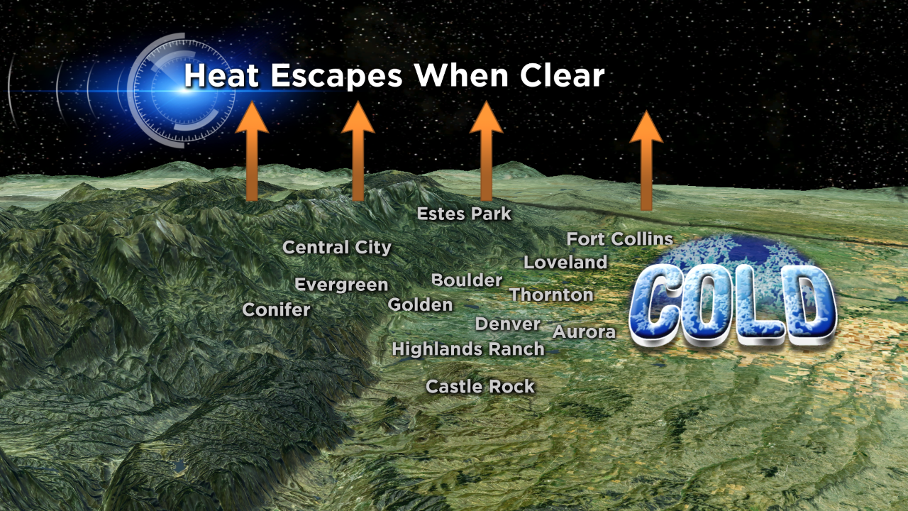
Monday night's storm left Denver under a blanket of snow, but the coldest temps of the system arrive Wednesday and Thursday. Light northerly winds, clear skies, and the fresh snow cover will cause the mercury to drop near zero degrees both mornings.
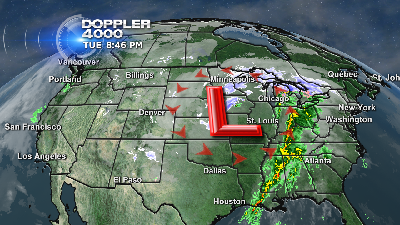
Our exiting low pressure is still bringing wintry conditions to the upper Midwest and severe weather to the deep south. Several tornadoes have caused extensive damage in Mississippi and Alabama. Since Colorado remains on the cold side of the low, winds rotating around from the north will drag some Canadian air our way.
The coldest temps will be found in the mountain valleys and along the South Platte River. The Denver metro area will wake up to single digit temps Wednesday morning, low lying places on the plains may fall below zero. Expect patchy fog near the river as well. Added moisture in the air from this week's snow will make it easy for the fog to form as temperatures fall.
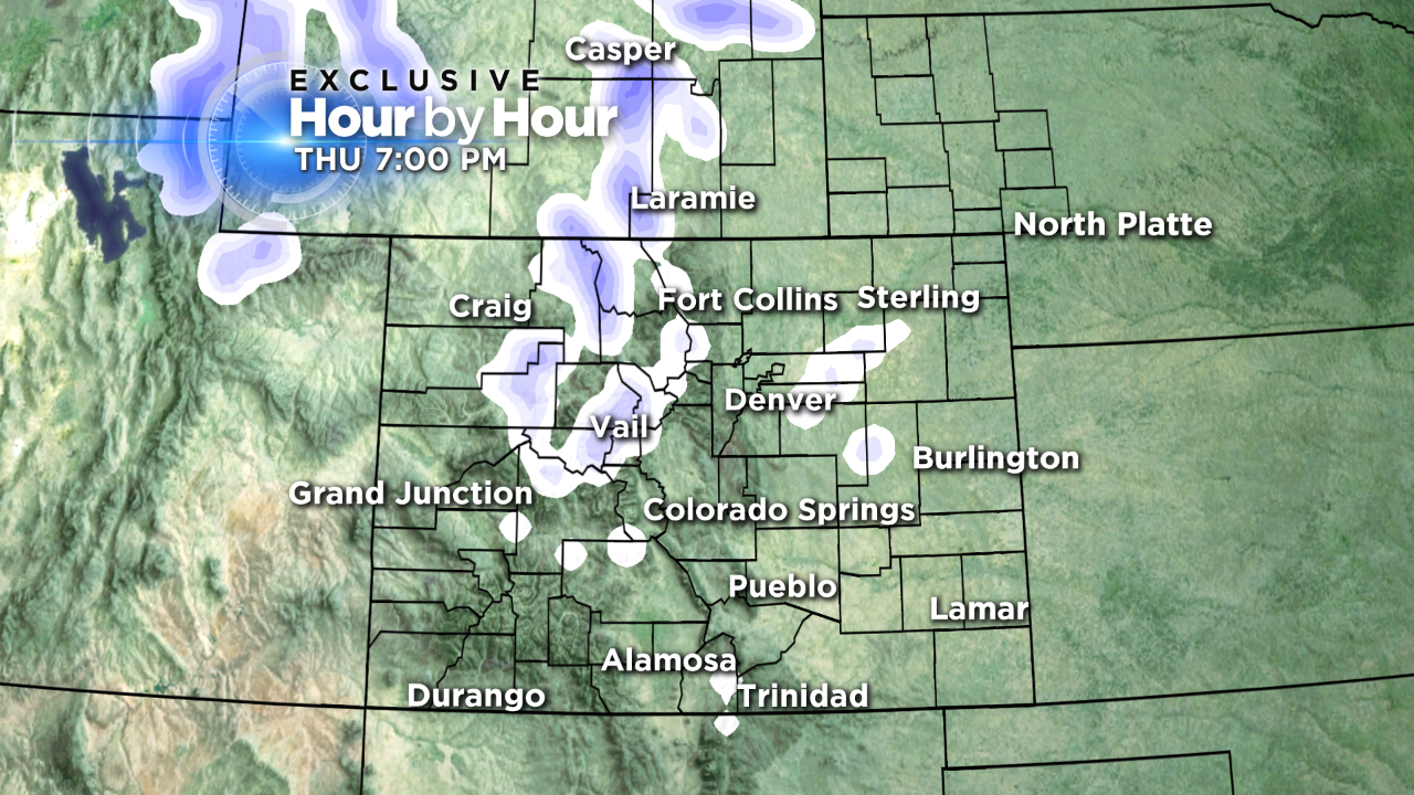
More snow may show up in Denver Thursday night as a weak system passes through. This isn't going to be a major snowstorm, just a few light showers in the evening.
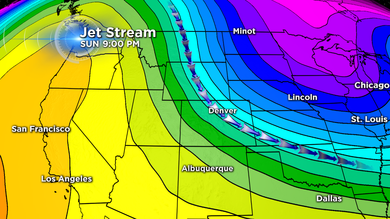
We could see another round of accumulating snow in the high country by early next week. Very fast jet stream winds appear to be moving in from the north by Sunday evening. It's still several days away but this pattern typically favors the mountains north of I-70.
Justin McHeffey provides nightly reports from the Mobile Weather Lab. He travels Colorado in search of Mother Nature's most powerful and beautiful conditions. Like his Facebook page Meteorologist Justin McHeffey and follow him on Twitter @WeatherMcHeffey.