Unusual Winter Arrival Means Slim Chance For White Christmas In Denver
DENVER (CBS4) - Winter officially began in Colorado at 4:03 p.m. on Sunday.
While it felt and looked like winter in the mountains thanks to a major snow storm, the season arrived in rare form along the Front Range.
Widespread rain showers developed behind a weak cold front Sunday night leaving up to a tenth of an inch in rain gauges around Denver and catching many off guard.
In some areas the rain changed to light snow before ending, leaving up to a half inch of accumulation.
The reason for more rain than snow is that there's hardly any cold air in place across the lower elevations.
All of the cold air that invaded the lower 48 states in November has retreated far to the north, above the Arctic Circle.
For those hoping to see a White Christmas in Denver, it's not good news.
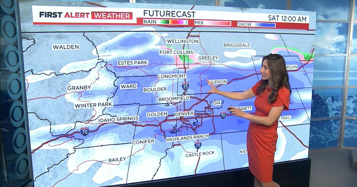
Another storm will approach Colorado by Christmas Day but it'll have the same challenge as the current one with very little cold air in place across lower elevations.
However, there are still a few days left to monitor the forecast, and there's always hope that things could change.
Speaking of a White Christmas, its actually quite rare to see one in Denver, even during a weather pattern with cold temperatures.
In fact, there is only a 14 percent chance of having measurable snow fall in Denver on Christmas Day. It has happened 18 times since 1882.
There is a slightly higher chance (38 percent) of having at least 1 inch of snow on the ground from a previous storm on Christmas Day; that has happened 43 times since snow depth records began in 1900.
The forecast for a White Christmas in Denver this year is slim with highs expected to be in the 40's.
As a storm system moves into the high country there will be a chance for a rain-snow mix late in the day.


